


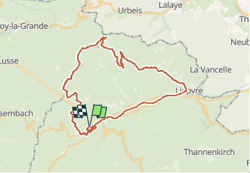

14.1 km | 21 km-effort


User


FREE GPS app for hiking
 SityTrail
IGN / Geographical institutes
SityTrail World
The world is yours!
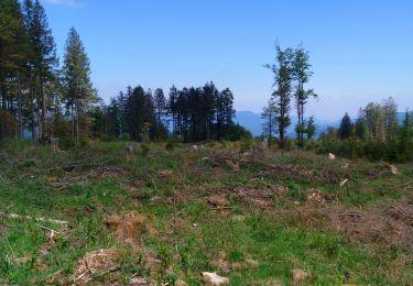
Trail Electric bike of 35 km to be discovered at Grand Est, Haut-Rhin, Sainte-Marie-aux-Mines. This trail is proposed by patandre.
Départ de Ste Marie aux Mines, piste cyclable jusqu'à Lièpvre, Rombach le Franc, Route de la Hingrie, Creux Chêne, Col de la Hingrie, col de Ralaine, Grand Sterpois, Chaume de Lusse, et retour sur Ste Marie aux Mines par le Fenarupt

Walking

Walking

Walking
Walking

Walking

Walking
Walking
Walking
Nordic walking