


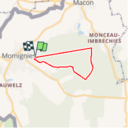


12.6 km | 14.9 km-effort
Randonnées au coeur d'une nature préservée GUIDE+


FREE GPS app for hiking
 SityTrail
IGN / Geographical institutes
SityTrail World
The world is yours!
Trail Walking of 7.7 km to be discovered at Wallonia, Hainaut, Momignies. This trail is proposed by La Forêt du Pays de Chimay.
The origin of the spots known as "Hayettes de Momignies, Haies de Macon" dates back to the time of the Gauls:
at that time, the Nerviens had built a thick, very tight hedge of forests to stop
the advancing Romans during the conquest of Gaul, hence the name "Franche Haie" (meaning "Frankish hedge" or "free hedge").
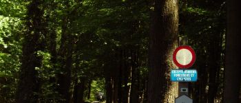
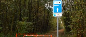
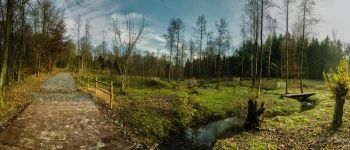
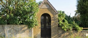
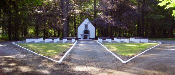
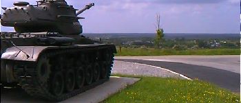
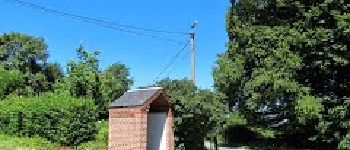
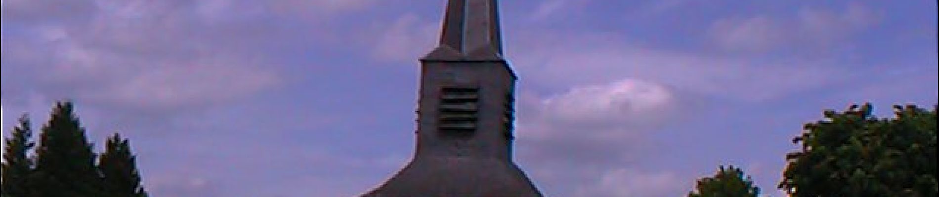
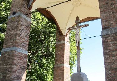
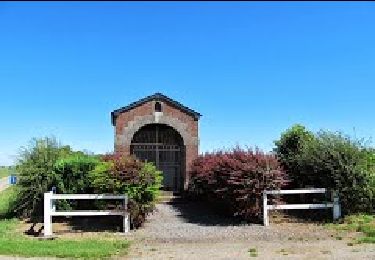
 - Hayettes Walk - Photo 1")
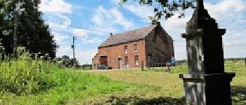
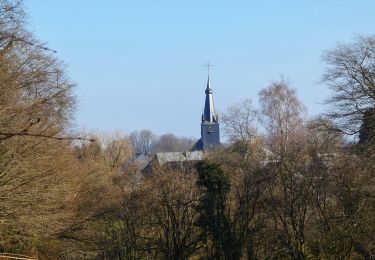
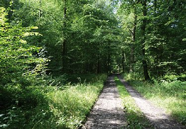
 - Hayettes Walk - Photo 2")
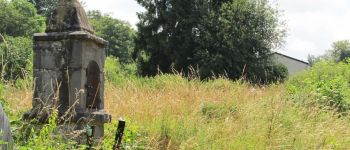
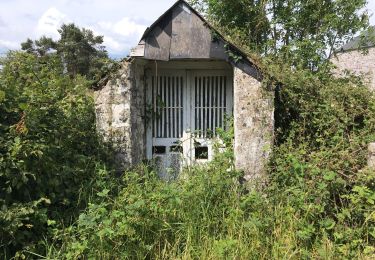
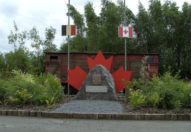
 - Hayettes Walk - Photo 3")
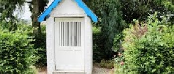
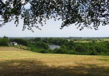
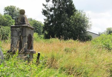
 - Hayettes Walk - Photo 4")
 - Hayettes Walk - Photo 5")
 - Hayettes Walk - Photo 6")
 - Hayettes Walk - Photo 7")
 - Hayettes Walk - Photo 8")
 - Hayettes Walk - Photo 9")
 - Hayettes Walk - Photo 10")
 - Hayettes Walk - Photo 11")
 - Hayettes Walk - Photo 12")
Walking
Walking

On foot
Walking
Walking
Walking
Walking
Walking
Walking