


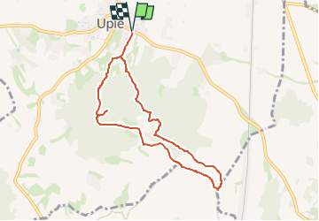

10.3 km | 18 km-effort


User


FREE GPS app for hiking
 SityTrail
IGN / Geographical institutes
SityTrail World
The world is yours!
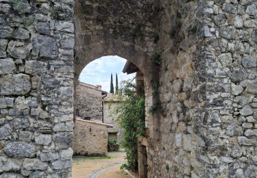
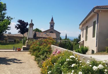
Trail Walking of 8 km to be discovered at Auvergne-Rhône-Alpes, Drôme, Upie. This trail is proposed by Maryma.
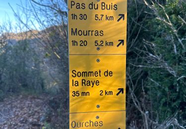
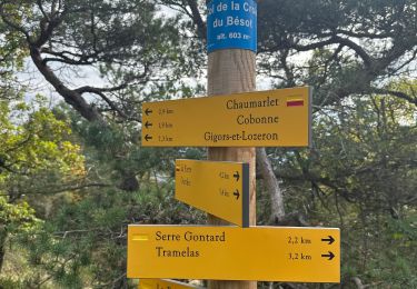
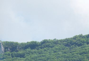
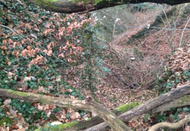
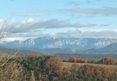
Le mont Miéry, massif forestier isolé de la vallée du Rhône, offre, depuis un oratoire dédié à la Madone, une vue à 350° : montagnes du Diois, synclinal perché de Saou, Monts du Matin, crête de la Raye...

Walking

Walking

sport
sport
Walking
Walking
Walking
Walking
Walking