


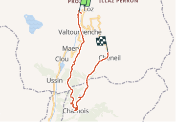

16.1 km | 33 km-effort


User


FREE GPS app for hiking
 SityTrail
IGN / Geographical institutes
SityTrail World
The world is yours!
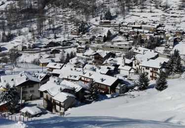
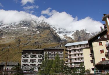
Trail Walking of 12.5 km to be discovered at Aosta Valley, Unknown, Valtournenche. This trail is proposed by David Toussaint.
Randonner jusqu'au village de Chamois a partir de Crepin puis retour a Cheneil, rapatriement avec la navette de l'arret du funiculaire de Barmas à Cheneil jusqu'à Crepin.
On foot
On foot
On foot
On foot
On foot
On foot
On foot
On foot

On foot