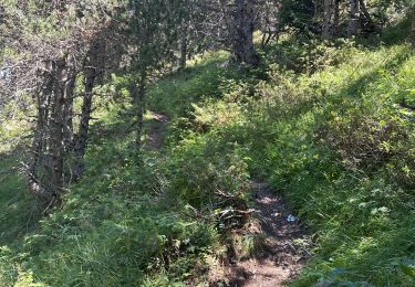
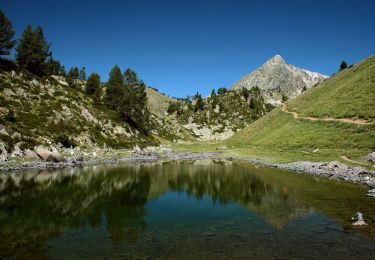
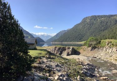
22 km | 42 km-effort
grange de moudang
arremoulit
User
Length
14.7 km
Max alt
1733 m
Uphill gradient
705 m
Km-Effort
24 km
Min alt
1070 m
Downhill gradient
706 m
Boucle
Yes
Creation date :
2022-07-21 07:41:15.495
Updated on :
2022-07-27 10:17:47.147
4h37
Difficulty : Very difficult
FREE GPS app for hiking
About
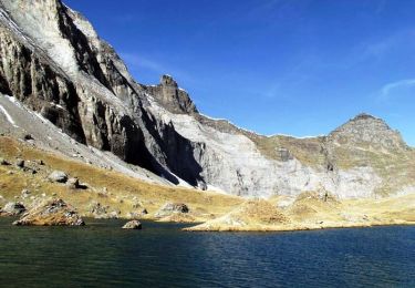
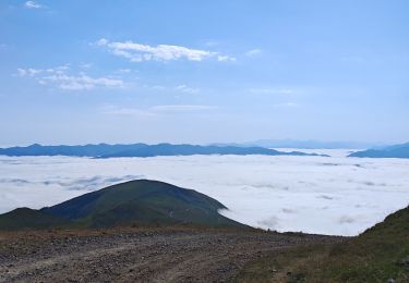
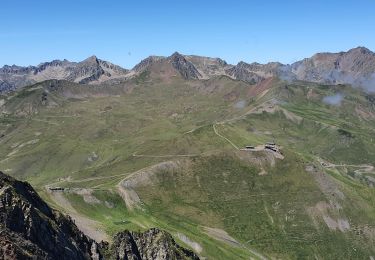
Trail Walking of 14.7 km to be discovered at Occitania, Hautespyrenees, Aragnouet. This trail is proposed by arremoulit.
Positioning
Country:
France
Region :
Occitania
Department/Province :
Hautespyrenees
Municipality :
Aragnouet
Location:
Unknown
Start:(Dec)
Start:(UTM)
274731 ; 4740746 (31T) N.
Comments
Trails nearby
Pic Barrosa, Soum Barrosa et Pic de Port de Vieux
Walking
Very difficult
(1)
Aragnouet,
Occitania,
Hautespyrenees,
France
9h 0min
Yes
Lac de Barroude par Aragnouet
Walking
Difficult
(1)
Aragnouet,
Occitania,
Hautespyrenees,
France
8.2 km | 18.3 km-effort
3h 0min
No
M005-Circuit Barroude-Port Vieux
Walking
Difficult
(1)
Aragnouet,
Occitania,
Hautespyrenees,
France
22 km | 41 km-effort
8h 11min
Yes
refuge de bastan et lacs
Walking
Medium
Saint-Lary-Soulan,
Occitania,
Hautespyrenees,
France
14.7 km | 22 km-effort
4h 45min
Yes
Pène-Male par les crêtes de Heche-Barrade
Walking
Very difficult
Saint-Lary-Soulan,
Occitania,
Hautespyrenees,
France
9.6 km | 23 km-effort
5h 15min
Yes
Au dessus de tramezaigues
sport
Very easy
Tramezaïgues,
Occitania,
Hautespyrenees,
France
3 km | 5.8 km-effort
Unknown
Yes
Lac de catchet
Walking
Medium
Aragnouet,
Occitania,
Hautespyrenees,
France
4 km | 10.7 km-effort
2h 25min
Yes
Lacs de Bastan
On foot
Easy
Aragnouet,
Occitania,
Hautespyrenees,
France
6.4 km | 12.2 km-effort
2h 47min
No
Le lac de l'Oule variante en passant par le bas du barrage
Walking
Easy
Aragnouet,
Occitania,
Hautespyrenees,
France
10.5 km | 15.8 km-effort
3h 0min
Yes