


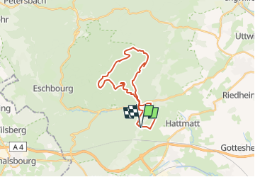

22 km | 29 km-effort

User


FREE GPS app for hiking
 SityTrail
IGN / Geographical institutes
SityTrail World
The world is yours!
Trail Horseback riding of 23 km to be discovered at Grand Est, Bas-Rhin, Ernolsheim-lès-Saverne. This trail is proposed by Zol.
Rando plutôt facile, deux passages un peu plus techniques aux km 12,6 (l'accès au château est fermé, le sentier qui contourne a un passage un peu raide sur deux mètres ) et 20,5 (un joli zig zag qui grimpe avec quelques racines et cailloux), mais à chaque fois on peut contourner par la route forestière à peine plus longue.
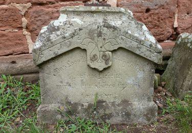
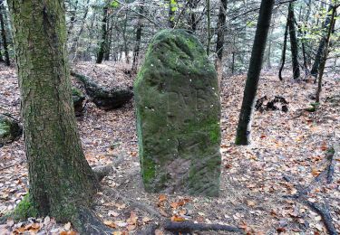
Le Fuellengarten est l'immense clairière où les châtelains élevaient les chevaux, table de pique nique à l'angle Nord Est.

Horseback riding
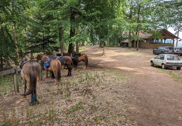
Horseback riding
On foot
On foot

On foot

On foot
On foot
On foot

On foot