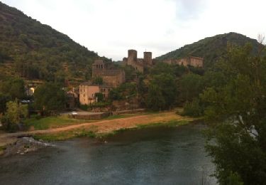
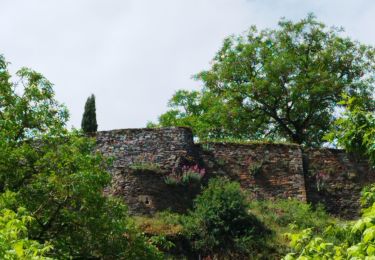
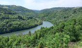
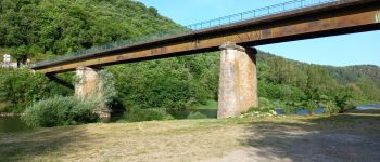
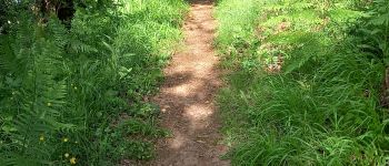
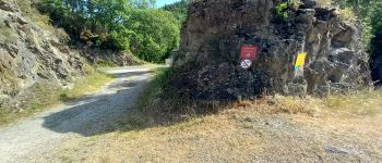
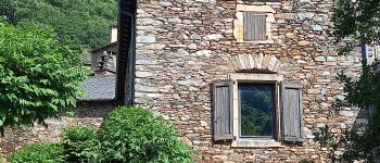
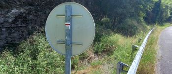
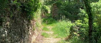
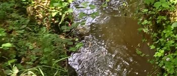
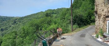
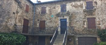
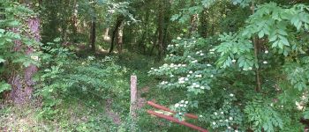
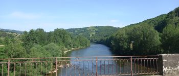
Trail Walking Brousse-le-Château - J12:Brousse le Château-Villeneuve sur Tarn-200522 - Photo

J12:Brousse le Château-Villeneuve sur Tarn-200522

© OpenStreetMap contributors
Length
Length
23 km
Max alt
Max alt
454 m
Uphill gradient
Uphill gradient
602 m
Km-Effort
Km-Effort  
31 km
Min alt
Min alt
208 m
Downhill gradient
Downhill gradient
628 m
Boucle
Boucle
No
Creation date :
2022-07-26 13:24:08.042
Updated on :
2022-07-28 09:03:53.234

(0 Reviews)

Walking
Walking
7h02
Difficulty : Medium

Scan this QR Code to open this trail in the SityTrail application

FREE GPS app for hiking

Logo SityTrail SityTrail

IGN / Geographical institutes

Download SityTrail from the App Store Download SityTrail from Google Play

Logo SityTrail SityTrail World

The world is yours!

Download SityTrail from the App Store Download SityTrail from Google Play Download SityTrail on Huawei AppGallery

About

Trail Walking of 23 km to be discovered at Occitania, Aveyron, Brousse-le-Château. This trail is proposed by canardDenis.

Description

Suivre le Tarn au bord de l'eau depuis Brousse-le-Château puis Lincou. Le voir de plus haut en continuant à grimper en Rive Droite par des hameaux endormis pour redescendre après le 4ème barrage des Raspes, celui de La Croux et se reposer en Rive Gauche à Curvalle.

Elevation profile

Photos

Points of interest

Point of interest Brousse-le-Château - Brousse-le-Château - Photo
canardDenis
BROUSSE-LE-CHÂTEAU 
Point of interest Brousse-le-Château - suivre piste à gauche  - Photo
canardDenis
BROUSSE-LE-CHÂTEAU 
Point of interest Connac - ⚠️ sentier à gauche  - Photo
canardDenis
Point of interest Réquista - remonter à gauche au pont  - Photo
canardDenis
Point of interest Réquista - monter à droite dans le camping suivre GR  - Photo
canardDenis
Point of interest Réquista - arrivée sur piste limite chalet suivre à gauche  - Photo
canardDenis
Point of interest Réquista - retour sur route mais barrière de sécurité suivre  - Photo
canardDenis
Point of interest Réquista - escaliers arrivant sur route monter à droite  - Photo
canardDenis
Point of interest Réquista - Ruine Maison - Photo
canardDenis
RÉQUISTA 
Point of interest Réquista - Passerelle - Photo
canardDenis
RÉQUISTA 
Point of interest Réquista - arrivée au milieu maison prendre route à droite  a - Photo
canardDenis
Point of interest Réquista - Point-de-vue - Photo
canardDenis
RÉQUISTA 
Point of interest Réquista - retour route  - Photo
canardDenis
RÉQUISTA 
Point of interest Réquista - tout droit près ruisseau  - Photo
canardDenis
Point of interest Fraissines - Intersection trace - Photo
canardDenis
FRAISSINES 
Point of interest Fraissines - garder piste descente  - Photo
canardDenis
Point of interest Fraissines - arrivée sur maison et piste continuer à descendre  - Photo
canardDenis
Point of interest Fraissines - balise à gauche trop loin continuer à  monter - Photo
canardDenis
Point of interest Fraissines - partir en face dans virage  - Photo
canardDenis
Point of interest Trébas - descente à gauche  - Photo
canardDenis
Point of interest Trébas - sentier à droite GR - Photo
canardDenis
Point of interest Trébas - carrefour prendre Trebas - Photo
canardDenis
Point of interest Cadix - Pont de Curvalle - Photo
canardDenis
Point of interest Curvalle - Curvalle - Photo
canardDenis
CURVALLE 

Positioning

Country:
France
Region :
Occitania
Department/Province :
Aveyron
Municipality :
Brousse-le-Château
Location:
Unknown
Start:(UTM)
469916 ; 4871672 (31T) N.

Trails nearby

Trail Walking Brousse-le-Château - Brousse Le Chateau et les alentours - Photo
Walking
romananus1er

Walking

Medium
(1)
Brousse-le-Château, Occitania, Aveyron, France
18.4 km | 27 km-effort
4h 54min
Yes
Trail Walking Brousse-le-Château - Boucle au départ de Brousse-le-château - Photo
Walking
Bart2015

Walking

Difficult
Brousse-le-Château, Occitania, Aveyron, France
8.8 km | 13.3 km-effort
3h 1min
Yes
Trail Walking Brousse-le-Château - Brousse  st martin - Photo
Walking
nanie

Walking

Difficult
Brousse-le-Château, Occitania, Aveyron, France
8.5 km | 12.9 km-effort
2h 55min
Yes
Trail Walking Coupiac - coupiac in live - Photo
Walking
CASSISFRAMBOISE

Walking

Medium
Coupiac, Occitania, Aveyron, France
18.9 km | 27 km-effort
4h 31min
Yes
Trail Walking Brousse-le-Château - brousse le chateau - Photo
Walking
CASSISFRAMBOISE

Walking

Medium
Brousse-le-Château, Occitania, Aveyron, France
16.5 km | 24 km-effort
4h 28min
Yes
Trail Walking Connac - Boucle Connac Lincou - Photo
Walking
tercla

Walking

Difficult
Connac, Occitania, Aveyron, France
20 km | 29 km-effort
7h 8min
Yes
Trail Walking Réquista - Lincou - Cannac  2024 - Photo
Walking
Frayssinet

Walking

Very difficult
Réquista, Occitania, Aveyron, France
22 km | 32 km-effort
7h 19min
Yes
Trail Walking Brousse-le-Château - randonnée de castel brousse le château  - Photo
Walking
Pascal Lemaire

Walking

Medium
Brousse-le-Château, Occitania, Aveyron, France
8.1 km | 12.6 km-effort
2h 38min
Yes
Trail Walking Montclar - saint igest  - Photo
Walking
Frayssinet

Walking

Medium
Montclar, Occitania, Aveyron, France
25 km | 39 km-effort
9h 34min
Yes


Close
My subscriptions