


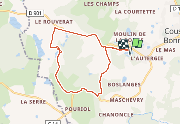

12.1 km | 15 km-effort


User


FREE GPS app for hiking
 SityTrail
IGN / Geographical institutes
SityTrail World
The world is yours!
Trail Walking of 8.2 km to be discovered at New Aquitaine, Haute-Vienne, Coussac-Bonneval. This trail is proposed by Jean Laversanne.
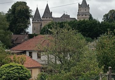
Nombreux chemins mal entretenus ou carrément fermés obligeant à suivre la route. Dommage car beaux paysages.
Walking