


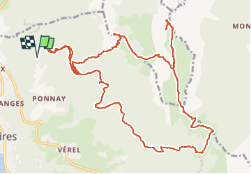

9.6 km | 19.3 km-effort

User


FREE GPS app for hiking
 SityTrail
IGN / Geographical institutes
SityTrail World
The world is yours!
Trail Walking of 16.6 km to be discovered at Auvergne-Rhône-Alpes, Upper Savoy, Talloires-Montmin. This trail is proposed by djeepee74.
BOUCLE... live de Cris & Karine le 20220723
... Dents de Lanfon sud, col des frêtes, pointe de Talamarche, pas de l'Aulp, col des Nantets, chalet des Crottes... retour par les forêts de Combe noire et de Lanfon.
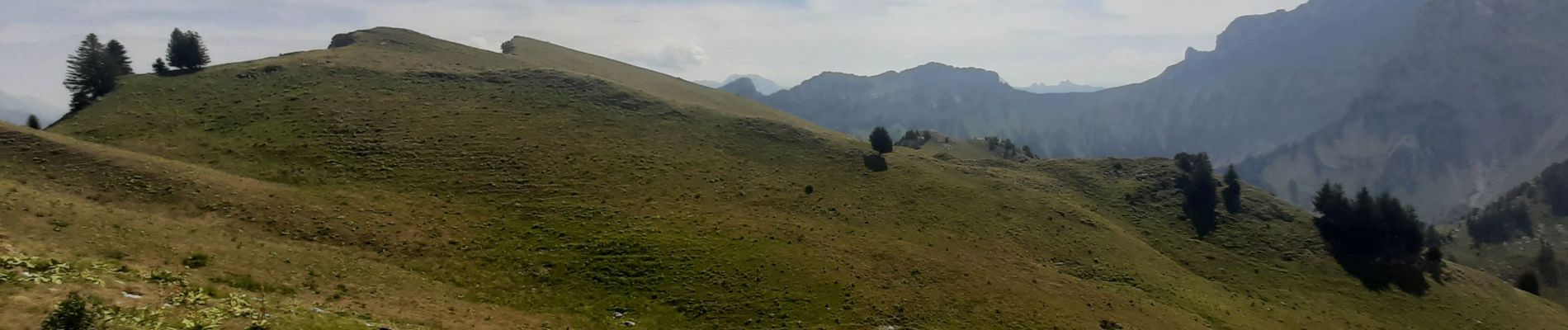
Magnifiques paysages encore.


Walking

Walking

Walking
Walking
Walking

Walking

Walking

Walking

Walking