


21 km | 24 km-effort


User


FREE GPS app for hiking
 SityTrail
IGN / Geographical institutes
SityTrail World
The world is yours!
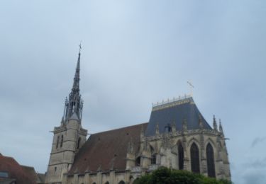
Trail Walking of 15 km to be discovered at Normandy, Eure, Conches-en-Ouche. This trail is proposed by Marie-Claire-mcp.
Départ de la place Aristide Briant, rejoindre le square. Le traverser, passer devant le donjon, et contourner par la droite de la mairie.....
Walking

Walking
Walking
Walking

On foot

Mountain bike
Mountain bike
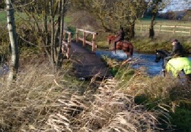
Equestrian
Walking