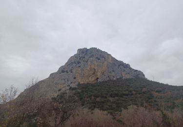
16.2 km | 24 km-effort
volx
jean pierre 04
User
Length
8.2 km
Max alt
408 m
Uphill gradient
84 m
Km-Effort
9.3 km
Min alt
370 m
Downhill gradient
81 m
Boucle
No
Creation date :
2022-07-23 04:45:21.233
Updated on :
2022-07-23 05:48:59.453
1h02
Difficulty : Very easy
FREE GPS app for hiking
About
Trail Running of 8.2 km to be discovered at Provence-Alpes-Côte d'Azur, Alpes-de-Haute-Provence, Volx. This trail is proposed by jean pierre 04.
Description
coursse
Positioning
Country:
France
Region :
Provence-Alpes-Côte d'Azur
Department/Province :
Alpes-de-Haute-Provence
Municipality :
Volx
Location:
Unknown
Start:(Dec)
Start:(UTM)
728105 ; 4861928 (31T) N.
Comments
Trails nearby
Volx/Montaigu/Bellevue/La Garde
Mountain bike
Medium
(1)
Volx,
Provence-Alpes-Côte d'Azur,
Alpes-de-Haute-Provence,
France
1h 33min
Yes
Le tour de la borie '' pain de sucre ''
Walking
Easy
(1)
Manosque,
Provence-Alpes-Côte d'Azur,
Alpes-de-Haute-Provence,
France
5.1 km | 7.4 km-effort
1h 43min
Yes
Quartier des Espels, départ Piscine.
Walking
Easy
(1)
Manosque,
Provence-Alpes-Côte d'Azur,
Alpes-de-Haute-Provence,
France
4.8 km | 7.3 km-effort
1h 50min
Yes
MANOSQUE VOLX PAR LES COLLINES O S
Walking
Difficult
Manosque,
Provence-Alpes-Côte d'Azur,
Alpes-de-Haute-Provence,
France
17.7 km | 24 km-effort
4h 15min
Yes
volx
Trail
Difficult
Volx,
Provence-Alpes-Côte d'Azur,
Alpes-de-Haute-Provence,
France
9.2 km | 14.7 km-effort
1h 43min
Yes
1Gaude, boucle de Montaigu.
Walking
Medium
Manosque,
Provence-Alpes-Côte d'Azur,
Alpes-de-Haute-Provence,
France
6.6 km | 10.2 km-effort
2h 7min
Yes
1Pélicier, chemin des collines, le Chateau via l'Ausselet
Walking
Easy
Manosque,
Provence-Alpes-Côte d'Azur,
Alpes-de-Haute-Provence,
France
7.1 km | 9.7 km-effort
2h 9min
Yes
Tour de Bellevue
On foot
Easy
Volx,
Provence-Alpes-Côte d'Azur,
Alpes-de-Haute-Provence,
France
8.6 km | 14.3 km-effort
3h 15min
No
1Les Cannebières, costebelle, bois d'Asson.
Walking
Medium
Villeneuve,
Provence-Alpes-Côte d'Azur,
Alpes-de-Haute-Provence,
France
7.9 km | 10.9 km-effort
2h 26min
Yes