


9.8 km | 13 km-effort

User


FREE GPS app for hiking
 SityTrail
IGN / Geographical institutes
SityTrail World
The world is yours!
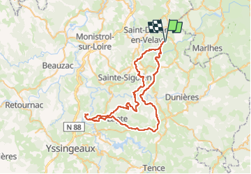
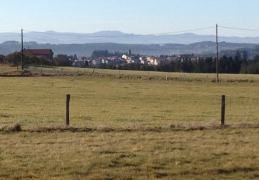
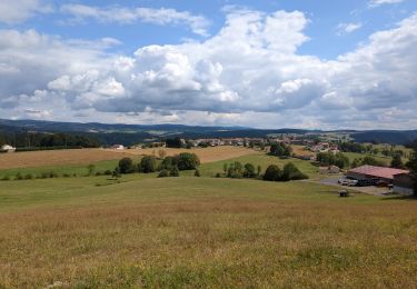
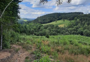
Trail Mountain bike of 66 km to be discovered at Auvergne-Rhône-Alpes, Haute-Loire, Saint-Victor-Malescours. This trail is proposed by xexedi.
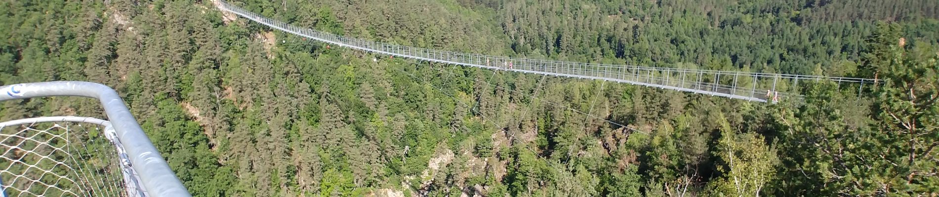
Circuit au départ de St Victor Malescours, à destination de la passerelle himalayenne de Grazac, avec un passage par la voie verte Montfaucon-Grazac.
Le dénivelé réel est plus faible. Le calcul automatique ne prend pas en compte l'utilisation de la passerelle.

Walking
Walking

Mountain bike
Walking
Walking
Walking
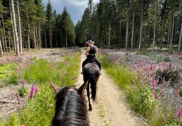
Horseback riding

On foot

Walking