


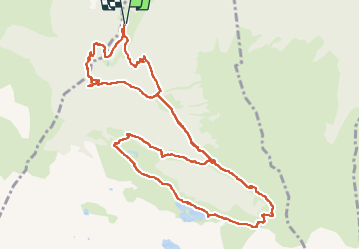

11 km | 16.7 km-effort

User


FREE GPS app for hiking
 SityTrail
IGN / Geographical institutes
SityTrail World
The world is yours!
Trail Walking of 14.2 km to be discovered at Occitania, Haute-Garonne, Castillon-de-Larboust. This trail is proposed by Fab-Oz.
Boucle au départ du parking le long du Lys.
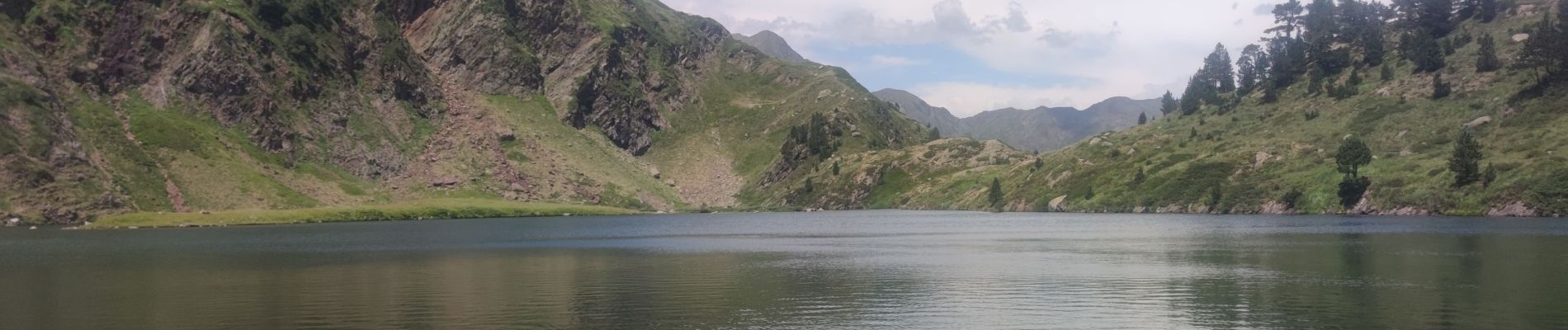
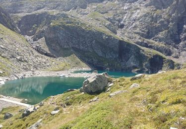
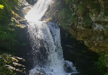
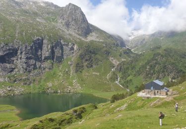
La montée le long de la cascade d'Enfer est sympa, avec un petit crochet jusqu'au Gouffre d'Enfer qui vaut vraiment le détour. Ensuite, c'est une montée pour découvrir toutes les cascades, jusqu'à la Cabane de la Coume. Puis le sentier fait une boucle en passant par le Lac Vert, pour une pause baignade bien méritée.
La descente se fait en partie par le même sentier le long des cascades, puis après le Pré de l'Artigue, on peut prendre à droite pour la fin du sentier.


Mountain bike
Walking
Walking

On foot

Walking

Walking
Walking
Walking
Walking