


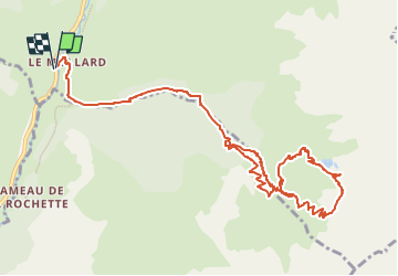

13.1 km | 27 km-effort


User


FREE GPS app for hiking
 SityTrail
IGN / Geographical institutes
SityTrail World
The world is yours!
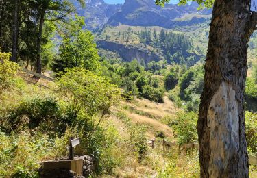
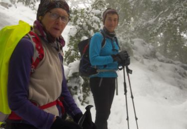
Trail Walking of 13.6 km to be discovered at Auvergne-Rhône-Alpes, Isère, Lavaldens. This trail is proposed by Maryma.
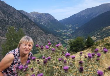
Ne pas manquer de vous arrêter au refuge de Rivobruenti. Le gardien et propriétaire vous racontera l'histoire du refuge qu'il a reconstruit et aménagé lui-même! Du bel ouvrage!
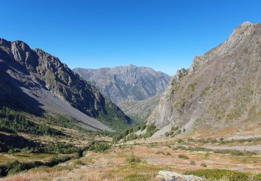
Walking
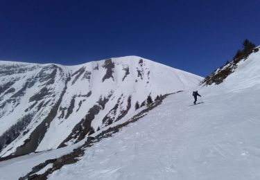
Touring skiing
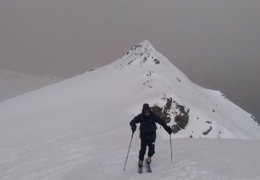
Touring skiing
Walking
Walking
Walking
Walking
Walking

Walking