


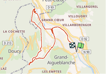

18.1 km | 34 km-effort

User


FREE GPS app for hiking
 SityTrail
IGN / Geographical institutes
SityTrail World
The world is yours!
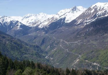
Trail Walking of 12.1 km to be discovered at Auvergne-Rhône-Alpes, Savoy, Grand-Aigueblanche. This trail is proposed by Christiancordin.
Aigueblanche-sentier du Morel-Bellecombe Tarentaise-cascade du Morel-St Oyen-établissement Thermal de la Léchère les Bains-retour le long de l'Isère.


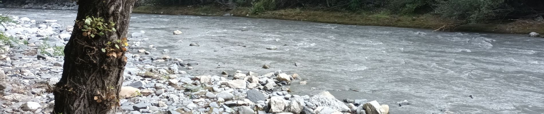
Walking
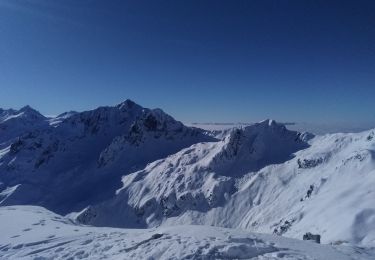
Touring skiing
Walking
Walking

Walking
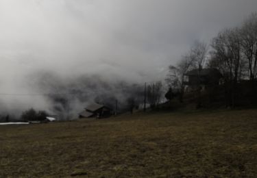
On foot
On foot

On foot
Walking