


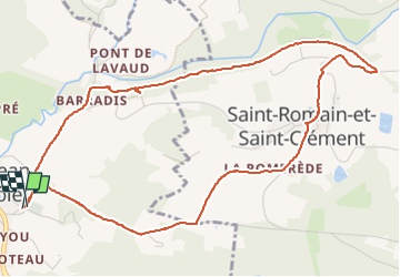


12 km | 14.4 km-effort


User


FREE GPS app for hiking
 SityTrail
IGN / Geographical institutes
SityTrail World
The world is yours!
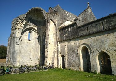
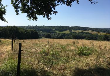
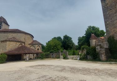
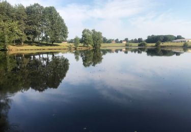
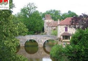
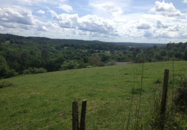
Trail Walking of 6 km to be discovered at New Aquitaine, Dordogne, Saint-Jean-de-Côle. This trail is proposed by NICOLEROBERT.
Très beau sentier d'interprétation à éviter en période de grosses chaleurs.
Pique nique possible bien ombragé au départ du chemin loco.
Walking
Mountain bike
Walking
Walking
Walking
Walking
Walking


sport

On foot