


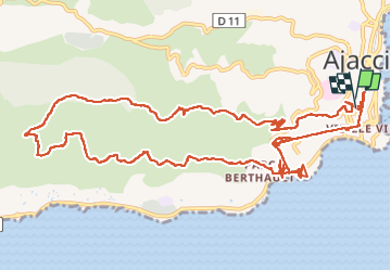


21 km | 25 km-effort


User GUIDE


FREE GPS app for hiking
 SityTrail
IGN / Geographical institutes
SityTrail World
The world is yours!
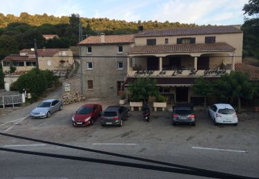
Trail On foot of 17.4 km to be discovered at Corsica, South Corsica, Ajaccio. This trail is proposed by chessyca.
Petite rando au départ de l'hôtel Napoléon
Matinée très grimpante - Après midi cool et spectaculaire


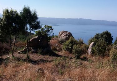
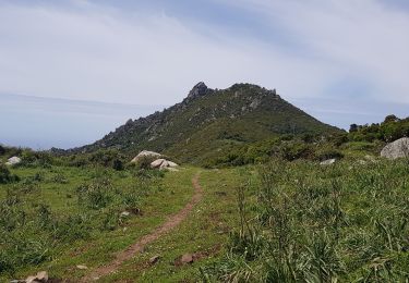
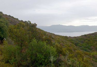
26 photos in total. Please click on a photo to see them all in the gallery.

Walking

Running

Cycle
Cycle

Walking
Walking
Walking
Walking
Walking