


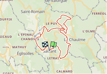

13.1 km | 18.3 km-effort


User


FREE GPS app for hiking
 SityTrail
IGN / Geographical institutes
SityTrail World
The world is yours!
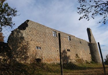
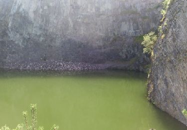
Trail Electric bike of 19.6 km to be discovered at Auvergne-Rhône-Alpes, Puy-de-Dôme, Saillant. This trail is proposed by Riviera Sport.
Walking
On foot
On foot
On foot
Walking

Walking

Walking
Walking

On foot
il n'y a pas de parcours facile en Vallée de l'Ance et certainement pas en passant de 850m à 1200m en 5km.