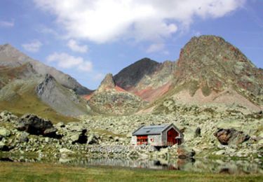
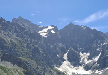
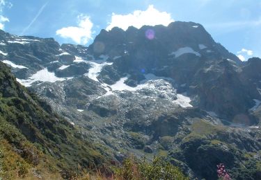
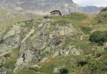
7.5 km | 22 km-effort
16 juillet 2022 chalet du gioberney
Parodie69
User
Length
12.3 km
Max alt
2451 m
Uphill gradient
893 m
Km-Effort
24 km
Min alt
1633 m
Downhill gradient
894 m
Boucle
Yes
Creation date :
2022-07-16 06:56:18.631
Updated on :
2022-07-16 17:03:47.828
7h44
Difficulty : Difficult
FREE GPS app for hiking
About
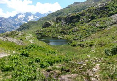
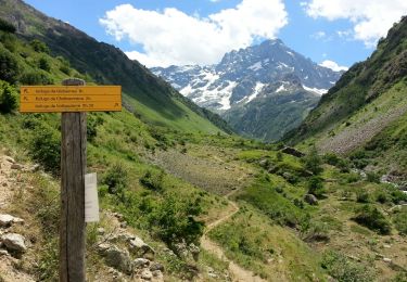
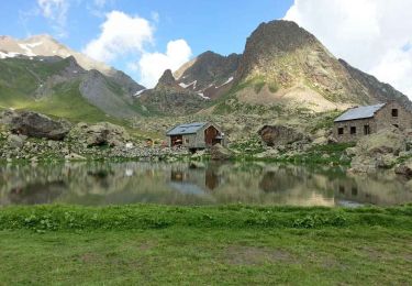
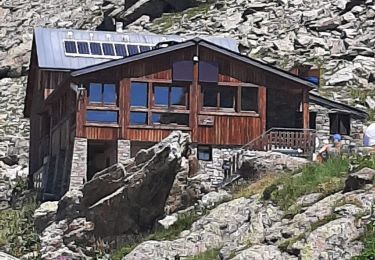
Trail Walking of 12.3 km to be discovered at Provence-Alpes-Côte d'Azur, Hautes-Alpes, La Chapelle-en-Valgaudémar. This trail is proposed by Parodie69.
Positioning
Country:
France
Region :
Provence-Alpes-Côte d'Azur
Department/Province :
Hautes-Alpes
Municipality :
La Chapelle-en-Valgaudémar
Location:
Unknown
Start:(Dec)
Start:(UTM)
285168 ; 4968950 (32T) N.
Comments
Trails nearby
Refuge de Chalance
Walking
Difficult
(1)
La Chapelle-en-Valgaudémar,
Provence-Alpes-Côte d'Azur,
Hautes-Alpes,
France
5h 1min
Yes
Tour du Vieux Chaillol 2/5 - Du Gîte Le Casset au Refuge de Vallonpierre
Walking
Medium
(1)
La Chapelle-en-Valgaudémar,
Provence-Alpes-Côte d'Azur,
Hautes-Alpes,
France
11.8 km | 24 km-effort
4h 30min
No
Refuge du Pigeonnier
On foot
Difficult
La Chapelle-en-Valgaudémar,
Provence-Alpes-Côte d'Azur,
Hautes-Alpes,
France
7.8 km | 18.6 km-effort
4h 13min
Yes
Refuge de Vallonpierre
On foot
Difficult
La Chapelle-en-Valgaudémar,
Provence-Alpes-Côte d'Azur,
Hautes-Alpes,
France
13.8 km | 24 km-effort
5h 33min
Yes
Refuge de Chabournéou
On foot
Medium
La Chapelle-en-Valgaudémar,
Provence-Alpes-Côte d'Azur,
Hautes-Alpes,
France
10.2 km | 17.1 km-effort
3h 53min
Yes
Valgaudemar - Gioberney Lac du Lauzon - 7.3km 490m 2h45 - 2018 06 27 - public
Walking
Difficult
La Chapelle-en-Valgaudémar,
Provence-Alpes-Côte d'Azur,
Hautes-Alpes,
France
7.2 km | 13.6 km-effort
4h 30min
Yes
Valgaudemar - Rif du Sap Le Clot - 6km 190m 1h45 - 2018 07 04 - public
Walking
Medium
La Chapelle-en-Valgaudémar,
Provence-Alpes-Côte d'Azur,
Hautes-Alpes,
France
6 km | 8.5 km-effort
2h 20min
Yes
Valgaudemar - Gioberney Refuge de Vallonpierre - 16km 850m 5h35 - 2018 07 03 ...
Walking
Difficult
La Chapelle-en-Valgaudémar,
Provence-Alpes-Côte d'Azur,
Hautes-Alpes,
France
16 km | 27 km-effort
7h 35min
Yes
PARC NATIONAL DES ECRINS: REFUGE DU PIGEONNIER
Walking
Medium
La Chapelle-en-Valgaudémar,
Provence-Alpes-Côte d'Azur,
Hautes-Alpes,
France
9.4 km | 21 km-effort
3h 22min
Yes