


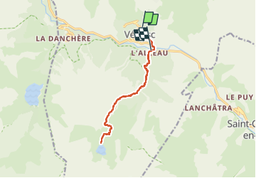

13.8 km | 24 km-effort

User


FREE GPS app for hiking
 SityTrail
IGN / Geographical institutes
SityTrail World
The world is yours!
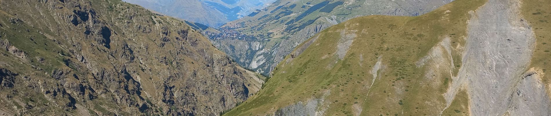
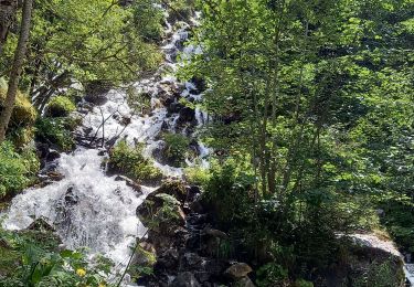
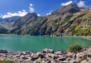
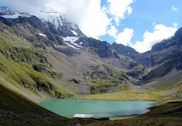
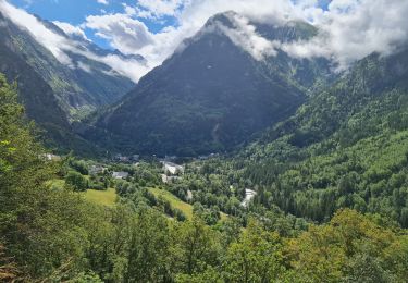
Trail Walking of 14.3 km to be discovered at Auvergne-Rhône-Alpes, Isère, Les Deux Alpes. This trail is proposed by scalpy.
Rando en aller retour jusqu'au lac. paysage variés, vu sur les glaciers. magnifique bien qu'un peu long. La seule difficulté réside dans le denivelle assez important 1200m.


Walking

Walking
Walking
Walking

Walking

Walking

Walking
Walking
Walking