12.3 km | 26 km-effort
Col du Chioula
richardsimopons
User
Length
7.4 km
Max alt
1612 m
Uphill gradient
214 m
Km-Effort
10.3 km
Min alt
1446 m
Downhill gradient
215 m
Boucle
Yes
Creation date :
2022-07-15 06:33:22.0
Updated on :
2022-07-15 08:40:40.526
2h01
Difficulty : Medium
FREE GPS app for hiking
About
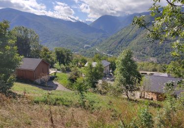
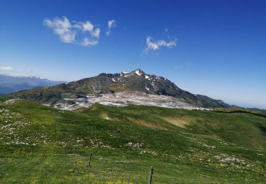
Trail Walking of 7.4 km to be discovered at Occitania, Ariège, Caussou. This trail is proposed by richardsimopons.
Description
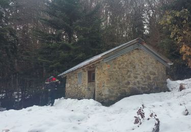
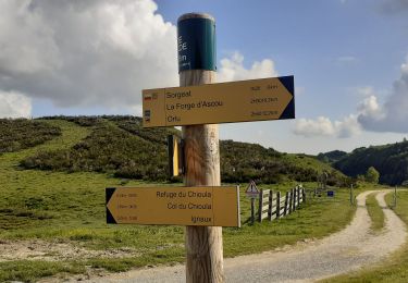
Agréable boucle à partir du Col
Positioning
Country:
France
Region :
Occitania
Department/Province :
Ariège
Municipality :
Caussou
Location:
Unknown
Start:(Dec)
Start:(UTM)
405218 ; 4734417 (31T) N.
Comments
Trails nearby
cabane de Bistort Teoula et Mouscadou
Walking
Medium
(1)
Perles-et-Castelet,
Occitania,
Ariège,
France
6h 15min
No
Chemin des Bonhommes - Sorgeat Merens
Walking
Very difficult
(1)
Sorgeat,
Occitania,
Ariège,
France
21 km | 36 km-effort
8h 0min
No
Lac de Campauleil - Orgeix
Walking
Very easy
(1)
Ax-les-Thermes,
Occitania,
Ariège,
France
8.6 km | 11.2 km-effort
3h 3min
Yes
La Chioula Orlu GR107 le chemins des Bonshommes
Walking
Difficult
Prades,
Occitania,
Ariège,
France
18.7 km | 25 km-effort
6h 17min
No
balade bleue au dessus d'Ax
Walking
Easy
Ax-les-Thermes,
Occitania,
Ariège,
France
3.8 km | 6.1 km-effort
1h 22min
Yes
Orgeix _ Ignaux
Walking
Medium
Ax-les-Thermes,
Occitania,
Ariège,
France
12.8 km | 19.1 km-effort
4h 12min
Yes
Le col de Marmare
Walking
Medium
Caussou,
Occitania,
Ariège,
France
14.1 km | 21 km-effort
4h 21min
Yes
Pic Fourcat Prades
Walking
Medium
(1)
Prades,
Occitania,
Ariège,
France
14 km | 25 km-effort
6h 52min
Yes