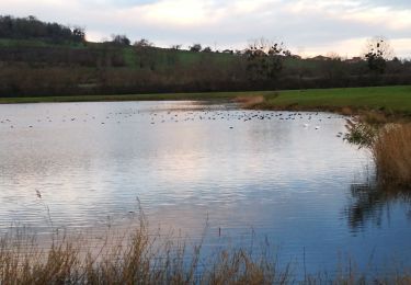
19.9 km | 26 km-effort
14 juillet 2022
RobertO54
User
Length
40 km
Max alt
379 m
Uphill gradient
572 m
Km-Effort
48 km
Min alt
174 m
Downhill gradient
570 m
Boucle
No
Creation date :
2022-07-14 05:43:00.242
Updated on :
2022-07-14 10:14:00.888
4h30
Difficulty : Very difficult
FREE GPS app for hiking
About
Trail Mountain bike of 40 km to be discovered at Grand Est, Meurthe-et-Moselle, Pont-à-Mousson. This trail is proposed by RobertO54.
Positioning
Country:
France
Region :
Grand Est
Department/Province :
Meurthe-et-Moselle
Municipality :
Pont-à-Mousson
Location:
Unknown
Start:(Dec)
Start:(UTM)
284248 ; 5420942 (32U) N.
Comments
Trails nearby
Pose balises V3
Mountain bike
Medium
(1)
Pont-à-Mousson,
Grand Est,
Meurthe-et-Moselle,
France
2h 1min
No
blenod arnaville xonville gorce blenod
Cycle
Very easy
(1)
Blénod-lès-Pont-à-Mousson,
Grand Est,
Meurthe-et-Moselle,
France
85 km | 93 km-effort
Unknown
Yes
ST JULIEN GORCE NOVEANT
Road bike
Very difficult
(1)
Blénod-lès-Pont-à-Mousson,
Grand Est,
Meurthe-et-Moselle,
France
89 km | 97 km-effort
5h 54min
Yes
essai 4 LEVO SL
Mountain bike
Difficult
Pont-à-Mousson,
Grand Est,
Meurthe-et-Moselle,
France
58 km | 77 km-effort
3h 29min
Yes
LES HAUTEURS DE LOISY - Le Grand Couronné
Walking
Easy
Loisy,
Grand Est,
Meurthe-et-Moselle,
France
10.5 km | 14.2 km-effort
2h 42min
Yes
Mousson par les remparts
Walking
Very easy
Pont-à-Mousson,
Grand Est,
Meurthe-et-Moselle,
France
4.6 km | 6.8 km-effort
23min
No
NOTRE DAME DES AIRS
Walking
Easy
Jezainville,
Grand Est,
Meurthe-et-Moselle,
France
10.7 km | 13.3 km-effort
2h 36min
Yes
Blénod - Jezainville - Dieulouard - Notre Dame des Airs
Walking
Easy
Jezainville,
Grand Est,
Meurthe-et-Moselle,
France
10.7 km | 13.3 km-effort
2h 25min
Yes
les etangs Muller
Walking
Very easy
Pont-à-Mousson,
Grand Est,
Meurthe-et-Moselle,
France
4.4 km | 4.8 km-effort
55min
Yes