21 km | 28 km-effort
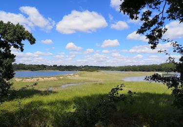
Forêt de Landévénec
aizat
User
Length
7 km
Max alt
105 m
Uphill gradient
101 m
Km-Effort
8.3 km
Min alt
56 m
Downhill gradient
91 m
Boucle
No
Creation date :
2022-07-14 06:18:46.735
Updated on :
2022-07-14 08:25:29.782
1h29
Difficulty : Very easy
FREE GPS app for hiking
About
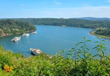
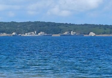
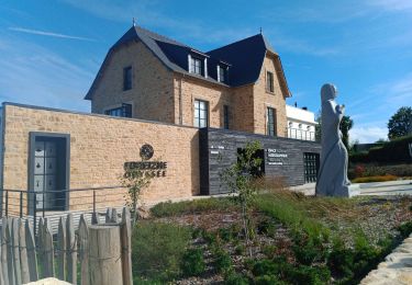
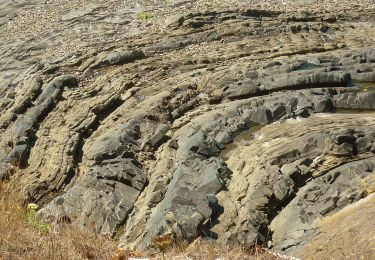
Trail Nordic walking of 7 km to be discovered at Brittany, Finistère, Landévennec. This trail is proposed by aizat.
Description
belle balade matin 17 degrés
Positioning
Country:
France
Region :
Brittany
Department/Province :
Finistère
Municipality :
Landévennec
Location:
Unknown
Start:(Dec)
Start:(UTM)
401831 ; 5349290 (30U) N.
Comments
Trails nearby
Le tour de Landévennec Boucle 21 km
Walking
Very difficult
Landévennec,
Brittany,
Finistère,
France
5h 10min
Yes
Landévennec - boucles locales et GR34 - 13.8km 250m 4h10 (35mn) - 2019 09 12
Walking
Easy
Landévennec,
Brittany,
Finistère,
France
13.8 km | 17.2 km-effort
4h 10min
Yes
LANDÉVENNEC
Walking
Difficult
Landévennec,
Brittany,
Finistère,
France
19.4 km | 25 km-effort
4h 41min
No
Sentier Côtier
On foot
Easy
Logonna-Daoulas,
Brittany,
Finistère,
France
9.7 km | 11.6 km-effort
2h 38min
No
Circuit de l'anse de Pen Foul. Logona. 06/07/20
Walking
Very easy
(1)
Logonna-Daoulas,
Brittany,
Finistère,
France
5.6 km | 7 km-effort
1h 33min
No
Térénez - Kerivin
Walking
Very easy
(1)
Argol,
Brittany,
Finistère,
France
11.9 km | 15 km-effort
3h 15min
Yes
Presqu'île Crozon - Day 02
Walking
Medium
Landévennec,
Brittany,
Finistère,
France
23 km | 30 km-effort
5h 54min
No
Landévennec
Walking
Medium
(1)
Landévennec,
Brittany,
Finistère,
France
15.1 km | 19.6 km-effort
4h 13min
Yes
GR34 Rangoulic -- Lanvéoc
Walking
Very difficult
Landévennec,
Brittany,
Finistère,
France
25 km | 33 km-effort
7h 26min
No