


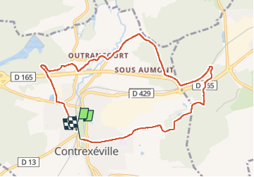

11.3 km | 14.3 km-effort


User


FREE GPS app for hiking
 SityTrail
IGN / Geographical institutes
SityTrail World
The world is yours!
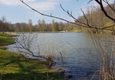
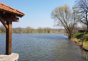
Trail Walking of 9.2 km to be discovered at Grand Est, Vosges, Contrexéville. This trail is proposed by parastat.
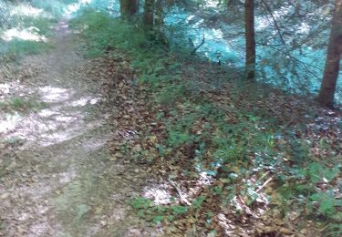
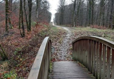
Partie est de la randonnée n° 23.
Alternance de pistes (beaucoup) au soleil et de sentiers (peu) ombragés.
Pas de difficultés.
On foot
Walking
Walking
Walking
Walking

Walking
Walking
Walking

Walking