


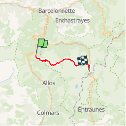

14.8 km | 31 km-effort


User


FREE GPS app for hiking
 SityTrail
IGN / Geographical institutes
SityTrail World
The world is yours!
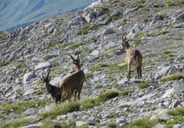
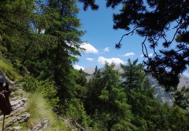
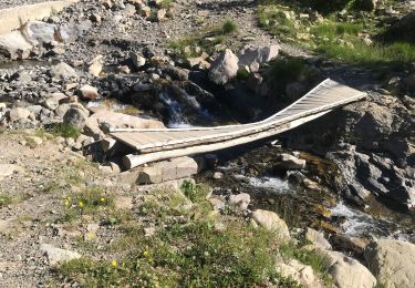
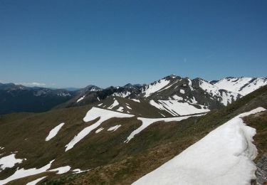
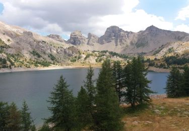
Trail Walking of 24 km to be discovered at Provence-Alpes-Côte d'Azur, Alpes-de-Haute-Provence, Uvernet-Fours. This trail is proposed by motardes04.
A éviter absolument par temps de pluie : nombreuses traversées de pierriers en balcon et passage par petites cascades assez raide.
Walking

Mountain bike
Walking

Walking
Walking
Walking

Walking

Snowshoes
Walking