


13 km | 18.5 km-effort


User


FREE GPS app for hiking
 SityTrail
IGN / Geographical institutes
SityTrail World
The world is yours!
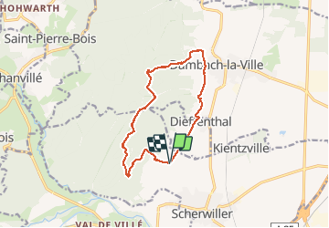
Trail Walking of 13.1 km to be discovered at Grand Est, Bas-Rhin, Scherwiller. This trail is proposed by Axelloceane.
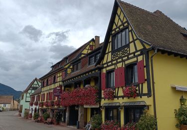
Randonnée au départ de la chapelle du Taennelkreuz.Prendre le sentier vers les ruines du château de Ortenbourg ensuite suivre le GR5 jusqu'au ruines du château de Bernstein.Descente vers la chapelle de Saint Sébastien.Retour par les vignes surplombant Dambach les villes et en traversant le village de Dieffenthal.


Walking

Walking
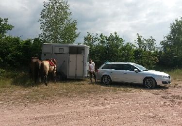
Equestrian

Walking

Walking

Walking

Mountain bike

Walking
Electric bike