


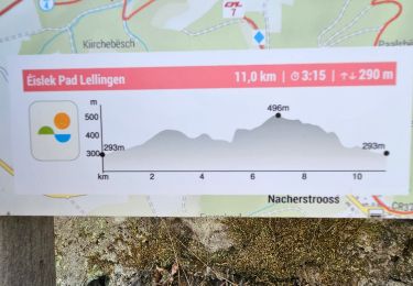
8.7 km | 12.6 km-effort

User


FREE GPS app for hiking
 SityTrail
IGN / Geographical institutes
SityTrail World
The world is yours!
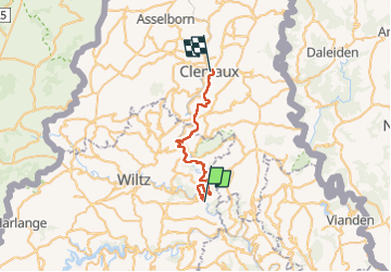
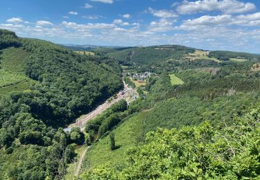
Trail Walking of 25 km to be discovered at Unknown, Canton Wiltz, Kiischpelt. This trail is proposed by dauzata.
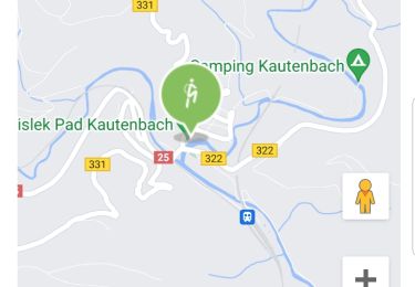
Départ: Gare de Kautenbach.
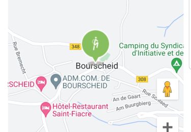
Arrivée: Clervaux, rue piétonne (au pied du château).
Possibilité de se rendre à Kautenbach en train depuis Clervaux ou Ettelbrück.


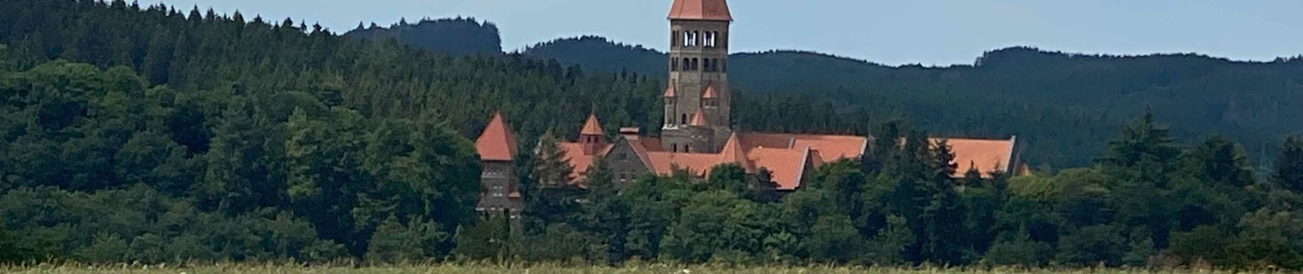
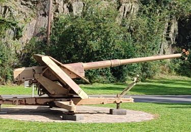
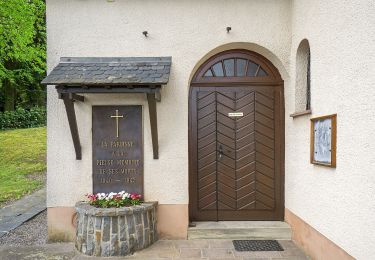
24 photos in total. Please click on a photo to see them all in the gallery.

Walking
Walking
Walking
Walking
Walking
Walking
Walking
Walking
On foot