


93 km | 131 km-effort

User


FREE GPS app for hiking
 SityTrail
IGN / Geographical institutes
SityTrail World
The world is yours!
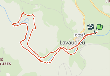
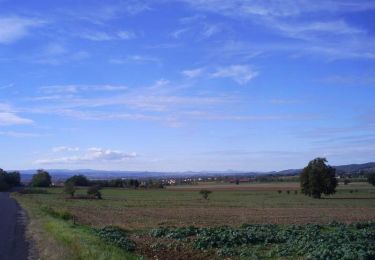
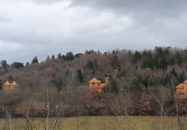
Trail Walking of 7.2 km to be discovered at Auvergne-Rhône-Alpes, Haute-Loire, Lavaudieu. This trail is proposed by veroberton.
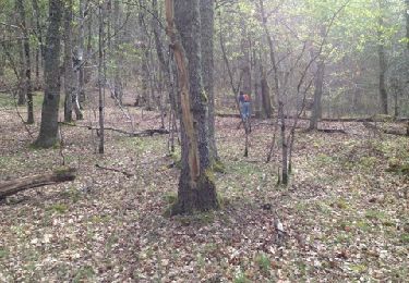
rando qui longe en partie la rivière, en 1ère partie sur un ancien aqueduc
certains sentiers qui descendent à la rivière sont sans issue
qqfois à flan de falaise
franchissement de la rivière à gué ( c est possible en gardant les pieds au sec si on a le sens de l équilibre)
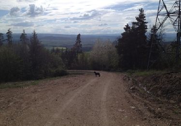
Le retour est sans difficulté
belle boucle dans tous les cas


Walking
Walking
Walking

Walking
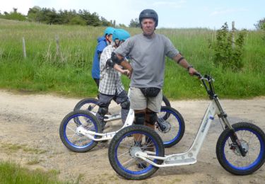
Mountain bike
Walking

Horseback riding

Walking
Walking