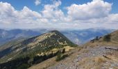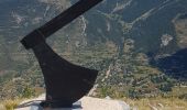

Le Caire gros

PhilB24
User

Length
10.4 km

Max alt
2075 m

Uphill gradient
800 m

Km-Effort
21 km

Min alt
1293 m

Downhill gradient
801 m
Boucle
Yes
Creation date :
2022-07-06 07:29:31.96
Updated on :
2022-07-14 15:06:39.3
3h24
Difficulty : Medium

FREE GPS app for hiking
About
Trail Walking of 10.4 km to be discovered at Provence-Alpes-Côte d'Azur, Maritime Alps, Valdeblore. This trail is proposed by PhilB24.
Description
Randonnées au départ de Saint Dalmas. Chemin facile mais montées parfois raides. Retour suivre tracé jaune.
Trés belle randonnée.
Positioning
Country:
France
Region :
Provence-Alpes-Côte d'Azur
Department/Province :
Maritime Alps
Municipality :
Valdeblore
Location:
Unknown
Start:(Dec)
Start:(UTM)
356152 ; 4880808 (32T) N.
Comments
Trails nearby
pepoiri


Walking
Very easy
(1)
Valdeblore,
Provence-Alpes-Côte d'Azur,
Maritime Alps,
France

7.8 km | 16.3 km-effort
5h 31min
Yes
La Malouna


Walking
Medium
(1)
Venanson,
Provence-Alpes-Côte d'Azur,
Maritime Alps,
France

10.7 km | 17.9 km-effort
5h 20min
Yes
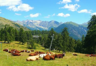
Le Caïre Gros


On foot
Medium
Valdeblore,
Provence-Alpes-Côte d'Azur,
Maritime Alps,
France

9.8 km | 20 km-effort
4h 38min
Yes

Circuit du Conquet


On foot
Medium
Venanson,
Provence-Alpes-Côte d'Azur,
Maritime Alps,
France

10.2 km | 21 km-effort
4h 45min
Yes
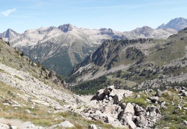
Les Lacs des Millefonts (Variante)


Walking
Difficult
Valdeblore,
Provence-Alpes-Côte d'Azur,
Maritime Alps,
France

10.1 km | 19.4 km-effort
4h 5min
Yes

Pèpoiri et Petoumier


Touring skiing
Medium
Valdeblore,
Provence-Alpes-Côte d'Azur,
Maritime Alps,
France

12.8 km | 31 km-effort
6h 44min
Yes
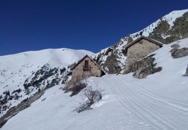
Mont Giraud


Touring skiing
Difficult
Valdeblore,
Provence-Alpes-Côte d'Azur,
Maritime Alps,
France

15.7 km | 32 km-effort
7h 41min
Yes
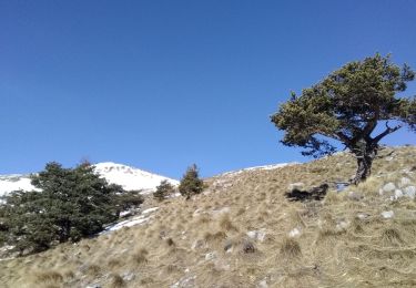
Mont Petoumier. Mont Pépoiri


Touring skiing
Medium
Valdeblore,
Provence-Alpes-Côte d'Azur,
Maritime Alps,
France

11.7 km | 27 km-effort
6h 45min
Yes
2019-08-05_07h07m41_2019-08-04_15h06m46_lacs-des-millefonts-040829


Walking
Difficult
Valdeblore,
Provence-Alpes-Côte d'Azur,
Maritime Alps,
France

9.6 km | 18.9 km-effort
3h 46min
Yes


 SityTrail


