Trail Walking Merbes-le-Château - SityTrail - RB-Ha-10 & SoirMag-04_Merbes - Photo

SityTrail - RB-Ha-10 & SoirMag-04_Merbes

 yamadix
yamadix

User

© OpenStreetMap contributors
Length
Length
18.2 km
Max alt
Max alt
174 m
Uphill gradient
Uphill gradient
218 m
Km-Effort
Km-Effort  
21 km
Min alt
Min alt
118 m
Downhill gradient
Downhill gradient
217 m
Boucle
Boucle
Yes
Creation date :
2022-07-04 20:09:11.868
Updated on :
2022-07-04 20:35:54.013

(0 Reviews)

Walking
Walking
6h06
Difficulty : Very difficult

Scan this QR Code to open this trail in the SityTrail application

FREE GPS app for hiking

Logo SityTrail SityTrail

IGN / Geographical institutes

Download SityTrail from the App Store Download SityTrail from Google Play

Logo SityTrail SityTrail World

The world is yours!

Download SityTrail from the App Store Download SityTrail from Google Play Download SityTrail on Huawei AppGallery

About

Trail Walking of 18.2 km to be discovered at Wallonia, Hainaut, Merbes-le-Château. This trail is proposed by yamadix.

Description

Merbes-le-Château – Solre-sur-Sambre – Hantes-Wiheries – Labuissière – Sars-la-Buissière – Merbes-le-Château

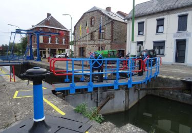
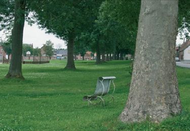
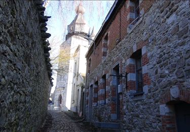
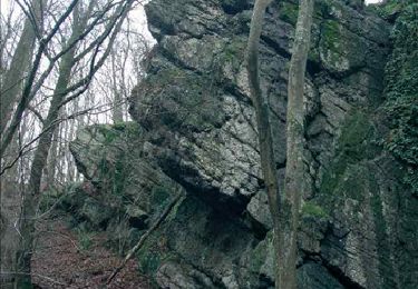
Cet itinéraire vous propose une balade très champêtre dans la vallée de la Sambre. Jusqu’au milieu du 20e siècle, ce coin du val de Sambre a connu une activité industrielle prospère, essentiellement axée sur l’exploitation de carrières. Vous en découvrirez certains vestiges et traverserez des villages aux belles maisons de pierres. Aujourd’hui, la vallée a retrou vé un caractère très rural. Vous croiserez quelques grosses fermes le long des chemins champêtres qui sillonnent de vastes étendues tranquilles. Labuissière possède même une réserve naturelle réputée.

Cartographie et documentation :
Carte IGN au 1 : 20 000, 52/1-2 « Merbes-le-Château – Thuin ».
Topo-guide du GR 129 « La Belgique en diagonale ! »

Où se désaltérer et se restaurer :
Le randonneur trouvera des cafés à Merbes-le-Château et à Labuisssière. Chambres d’hôtes à Hantes-Wiheries.

Elevation profile

Positioning

Country:
Belgium
Region :
Wallonia
Department/Province :
Hainaut
Municipality :
Merbes-le-Château
Location:
Unknown
Start:(UTM)
584382 ; 5574392 (31U) N.

Trails nearby

Trail Walking Merbes-le-Château - GG-Ht-05_Labuissière - Landelies - Photo
Walking
PRO

Walking

Very difficult
(1)
Merbes-le-Château, Wallonia, Hainaut, Belgium
21 km | 26 km-effort
5h 33min
No
Trail Walking Merbes-le-Château - RB-Ha-12 - Dans le parc naturel des Hauts-Pays - Photo
Walking
PRO

Walking

Very difficult
(4)
Merbes-le-Château, Wallonia, Hainaut, Belgium
23 km | 27 km-effort
6h 6min
Yes
Trail Walking Merbes-le-Château - De Merbes-le-Château à Labuissière - Photo
Walking
GUIDE
Desrumaux

Walking

Easy
(2)
Merbes-le-Château, Wallonia, Hainaut, Belgium
13.2 km | 14.8 km-effort
3h 15min
Yes
Trail Walking Merbes-le-Château - RB-Ha-12 - Raccourci - Dans le parc naturel des Hauts-Pays - Photo
Walking
PRO

Walking

Difficult
(2)
Merbes-le-Château, Wallonia, Hainaut, Belgium
15.5 km | 17.9 km-effort
4h 3min
Yes
Trail Walking Merbes-le-Château - De Labuissiere vers Fontaine-Valmont par la Vallee de la Sambre - Photo
Walking
GUIDE
Desrumaux

Walking

Easy
(1)
Merbes-le-Château, Wallonia, Hainaut, Belgium
9.2 km | 10.8 km-effort
2h 15min
Yes
Trail Nordic walking Erquelinnes - 6560-05 - Hantes-Wihéries - 9,9km - 104m - Photo
Nordic walking

Nordic walking

Very easy
(1)
Erquelinnes, Wallonia, Hainaut, Belgium
9.9 km | 11.3 km-effort
Unknown
Yes
Trail On foot Lobbes - Promenade de Landelin - Photo
On foot
GUIDE+

On foot

Easy
Lobbes, Wallonia, Hainaut, Belgium
6.3 km | 7.2 km-effort
1h 37min
Yes
Trail On foot Erquelinnes - Promenade de la Haute Sambre - Photo
On foot
GUIDE+

On foot

Easy
Erquelinnes, Wallonia, Hainaut, Belgium
9 km | 10.2 km-effort
2h 18min
Yes
Trail On foot Erquelinnes - Sur les traces de la frontière hollandaise - Photo
On foot
GUIDE+

On foot

Easy
Erquelinnes, Wallonia, Hainaut, Belgium
6.9 km | 8.2 km-effort
1h 51min
Yes


Close
My subscriptions