


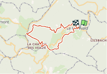


18.8 km | 26 km-effort

User


FREE GPS app for hiking
 SityTrail
IGN / Geographical institutes
SityTrail World
The world is yours!
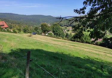
Trail Walking of 15.1 km to be discovered at Grand Est, Bas-Rhin, Le Hohwald. This trail is proposed by VacheKiri67.
Faite le 03/07/2022. D'après "Passion Vosges : Nos 50 plus belles randonnées - 28 : Par les sommets autour du Hohwald". Durée indiquée pour le circuit : 4h30.


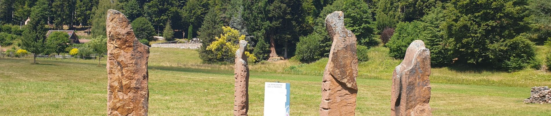
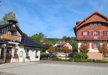
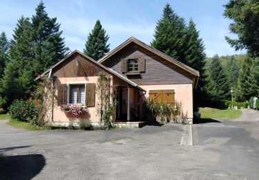
25 photos in total. Please click on a photo to see them all in the gallery.

Horseback riding

Walking

Walking

Walking
Walking
Walking

On foot
Walking
Walking