


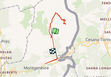


15.4 km | 32 km-effort

User


FREE GPS app for hiking
 SityTrail
IGN / Geographical institutes
SityTrail World
The world is yours!
Trail Walking of 16 km to be discovered at Provence-Alpes-Côte d'Azur, Hautes-Alpes, Montgenèvre. This trail is proposed by labarone.
vestiges de la guerre 39/45
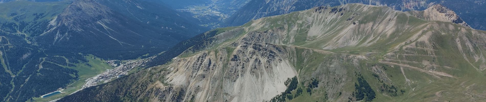
paysages magnifiques
contraste entre ce que peut faire et défaire l être humain et la beauté de la nature
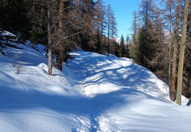
pour bons marcheurs


25 photos in total. Please click on a photo to see them all in the gallery.

Walking

Mountain bike

Walking

Walking

Walking

Walking

Walking

Mountain bike
Touring skiing