


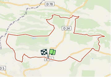

7.4 km | 10.2 km-effort


User


FREE GPS app for hiking
 SityTrail
IGN / Geographical institutes
SityTrail World
The world is yours!
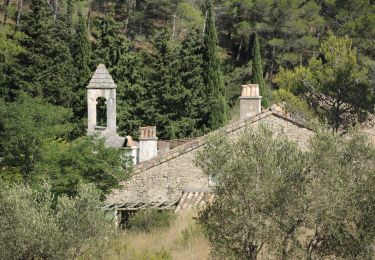
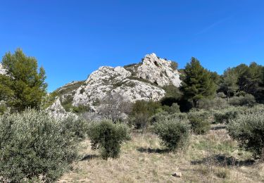
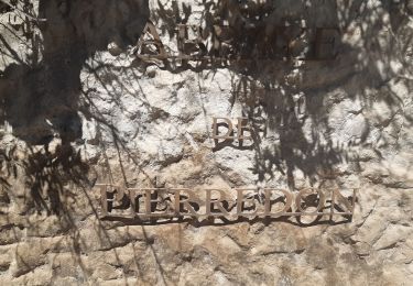
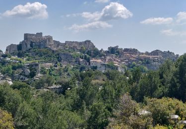
Trail Mountain bike of 13.9 km to be discovered at Provence-Alpes-Côte d'Azur, Bouches-du-Rhône, Mouriès. This trail is proposed by Vin100@33.
Petite balade, assez simple mais surtout très jolie.
traversée golf, terrain moto cross, auquacity naturel pour ceux que ça tenterait.

Walking
Walking
Walking
Walking
Walking


sport
Walking
Horseback riding
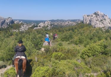
Horseback riding