

boucle de la table d'orientation

Patricew
User

Length
11.6 km

Max alt
242 m

Uphill gradient
205 m

Km-Effort
14.3 km

Min alt
150 m

Downhill gradient
204 m
Boucle
Yes
Creation date :
2022-06-28 06:59:45.945
Updated on :
2022-06-30 17:03:24.842
2h28
Difficulty : Easy

FREE GPS app for hiking
About
Trail Walking of 11.6 km to be discovered at New Aquitaine, Dordogne, Thiviers. This trail is proposed by Patricew.
Description
niveau moyen,bien ombragée,jolie
Une grande partie de la randonnée est un aller - retour voie verte, mais la boucle à partir du parking de saint jean est très jolie et ombragée
Positioning
Country:
France
Region :
New Aquitaine
Department/Province :
Dordogne
Municipality :
Thiviers
Location:
Unknown
Start:(Dec)
Start:(UTM)
334999 ; 5032479 (31T) N.
Comments
Trails nearby
Saint-Jean de colle la côte 12 km


Walking
Easy
(1)
Saint-Jean-de-Côle,
New Aquitaine,
Dordogne,
France

12 km | 14.4 km-effort
2h 51min
Yes
Thiviers vtt


Mountain bike
Very easy
Thiviers,
New Aquitaine,
Dordogne,
France

48 km | 58 km-effort
6h 2min
Yes
Saint jean de Côle/St Martin


Walking
Saint-Jean-de-Côle,
New Aquitaine,
Dordogne,
France

12 km | 15.3 km-effort
3h 23min
Yes
La Servolle 2


Walking
Easy
Eyzerac,
New Aquitaine,
Dordogne,
France

12.4 km | 14.9 km-effort
3h 16min
Yes
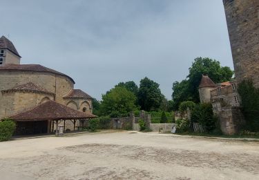
St-Jean de Côle - St-Martin


Walking
Medium
Saint-Jean-de-Côle,
New Aquitaine,
Dordogne,
France

5.9 km | 7.3 km-effort
1h 29min
Yes
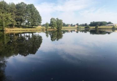
St Martin de Fressengeas


Walking
Medium
(1)
Saint-Martin-de-Fressengeas,
New Aquitaine,
Dordogne,
France

12.6 km | 16.7 km-effort
4h 46min
Yes
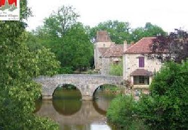
Saint Jean de Côle


Walking
Difficult
Saint-Jean-de-Côle,
New Aquitaine,
Dordogne,
France

13 km | 15.6 km-effort
3h 32min
Yes
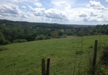
24 Saint-Jean-de-Côle


Walking
Easy
Saint-Jean-de-Côle,
New Aquitaine,
Dordogne,
France

16.3 km | 20 km-effort
4h 21min
No

Ràndo Bernard saint Martin de fressengeas


sport
Very easy
Saint-Martin-de-Fressengeas,
New Aquitaine,
Dordogne,
France

9.1 km | 11.8 km-effort
Unknown
Yes


 SityTrail


