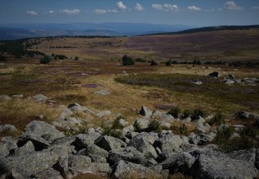
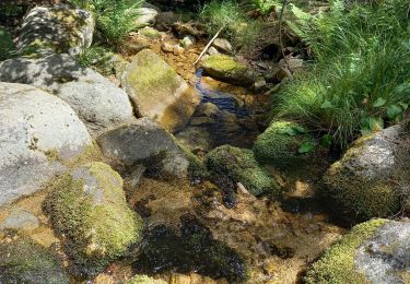
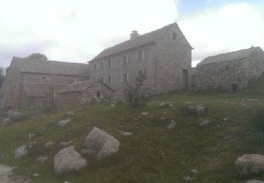
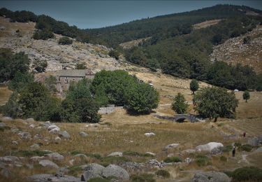
38 km | 47 km-effort
Mont Lozère, col Finiels
alinetpierre
User
Length
8.3 km
Max alt
1699 m
Uphill gradient
174 m
Km-Effort
10.6 km
Min alt
1539 m
Downhill gradient
170 m
Boucle
Yes
Creation date :
2022-06-27 09:29:25.0
Updated on :
2022-06-27 12:16:17.311
2h06
Difficulty : Very easy
FREE GPS app for hiking
About
Trail Walking of 8.3 km to be discovered at Occitania, Lozère, Mont Lozère et Goulet. This trail is proposed by alinetpierre.
Description
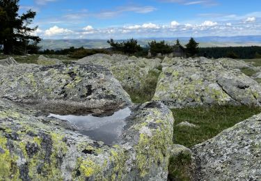
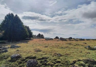
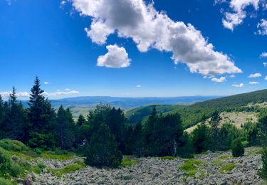
Superbe balade au mont Finiels, attention à la météo très vite changeante.
Positioning
Country:
France
Region :
Occitania
Department/Province :
Lozère
Municipality :
Mont Lozère et Goulet
Location:
Mas-d'Orcières
Start:(Dec)
Start:(UTM)
561135 ; 4919288 (31T) N.
Comments
Trails nearby
Finiels/ sommet / station du Bleymard en boucle
Walking
Difficult
Pont de Montvert - Sud Mont Lozère,
Occitania,
Lozère,
France
20 km | 30 km-effort
5h 38min
Yes
Cévennes Mas Camargues Pont du Tarn
Walking
Easy
(1)
Pont de Montvert - Sud Mont Lozère,
Occitania,
Lozère,
France
7.4 km | 8.6 km-effort
2h 7min
Yes
sources du tarn
Walking
Medium
(1)
Mont Lozère et Goulet,
Occitania,
Lozère,
France
13.3 km | 17.3 km-effort
3h 50min
No
ETANG DE BARANDON PAR LA STATION DE SKI
Electric bike
Medium
Cubières,
Occitania,
Lozère,
France
31 km | 36 km-effort
2h 11min
Yes
Sentier de Mas Camargues
On foot
Easy
Pont de Montvert - Sud Mont Lozère,
Occitania,
Lozère,
France
3.1 km | 3.9 km-effort
52min
Yes
chemin de Malevrère
On foot
Easy
Pont de Montvert - Sud Mont Lozère,
Occitania,
Lozère,
France
3.1 km | 4.4 km-effort
1h 0min
No
Le Finiels
Walking
Difficult
Mont Lozère et Goulet,
Occitania,
Lozère,
France
9 km | 12.3 km-effort
2h 33min
Yes
210617 - Mont Lozère
Walking
Easy
Mont Lozère et Goulet,
Occitania,
Lozère,
France
7.1 km | 9.3 km-effort
1h 22min
Yes