


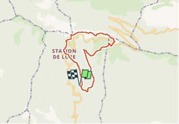

16.3 km | 26 km-effort


User


FREE GPS app for hiking
 SityTrail
IGN / Geographical institutes
SityTrail World
The world is yours!
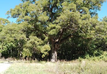
Trail Walking of 13.3 km to be discovered at Provence-Alpes-Côte d'Azur, Alpes-de-Haute-Provence, Saint-Étienne-les-Orgues. This trail is proposed by pourrier.
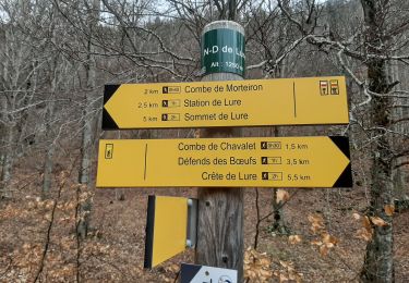
Départ de Notre Dame de Lure sous les bois, et montée progressive vers le sommet par la combe de Monteiron.
Différentes variantes possibles au sommet.
Descente par la combe de Chevalet et le Jas de Clément.
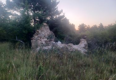
Ballade agréable même en été avec les deux combes bien ombragées dans de magnifiques forêts de hêtres.

Walking

Walking

On foot
Walking

Walking
Walking
Walking
Walking
Walking