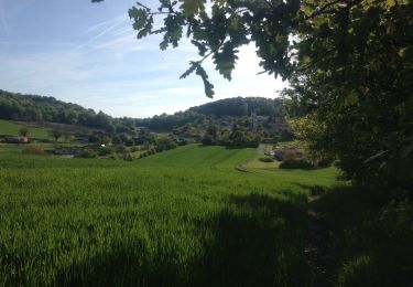
11.4 km | 14.3 km-effort
barjot
Siffleur
User
Length
21 km
Max alt
194 m
Uphill gradient
520 m
Km-Effort
28 km
Min alt
79 m
Downhill gradient
524 m
Boucle
No
Creation date :
2022-06-26 05:29:08.457
Updated on :
2022-06-26 15:59:41.889
3h16
Difficulty : Difficult
FREE GPS app for hiking
About
Trail Walking of 21 km to be discovered at New Aquitaine, Dordogne, Saint-Astier. This trail is proposed by Siffleur .
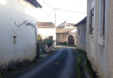
Positioning
Country:
France
Region :
New Aquitaine
Department/Province :
Dordogne
Municipality :
Saint-Astier
Location:
Unknown
Start:(Dec)
Start:(UTM)
304937 ; 5001970 (31T) N.
Comments
Trails nearby
GR654 ST ASTIER BERGERAC PINEL
Walking
Difficult
(3)
Saint-Astier,
New Aquitaine,
Dordogne,
France
122 km | 150 km-effort
31h 13min
No
Boucle des Châteaux
On foot
Easy
Saint-Aquilin,
New Aquitaine,
Dordogne,
France
11.3 km | 15.4 km-effort
3h 29min
No
St Aquilin Chateaux 12km
Walking
Easy
(1)
Saint-Aquilin,
New Aquitaine,
Dordogne,
France
11.9 km | 16.3 km-effort
3h 33min
Yes
Promenade de Charroux
On foot
Easy
Saint-Aquilin,
New Aquitaine,
Dordogne,
France
4.2 km | 5.8 km-effort
1h 19min
Yes
Boucle de Saint Astier
Walking
Difficult
Saint-Astier,
New Aquitaine,
Dordogne,
France
12.6 km | 16.3 km-effort
3h 42min
Yes
Leguillac 12km
Walking
Medium
Léguillac-de-l'Auche,
New Aquitaine,
Dordogne,
France
12.1 km | 16.1 km-effort
2h 45min
Yes
24 Léguillac de l'Auche
Walking
Easy
Léguillac-de-l'Auche,
New Aquitaine,
Dordogne,
France
13.8 km | 18 km-effort
3h 57min
Yes
Sentier de Lafaye-n°9
Walking
Easy
Léguillac-de-l'Auche,
New Aquitaine,
Dordogne,
France
6.9 km | 8.7 km-effort
1h 27min
Yes