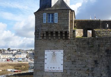
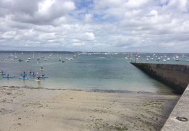
42 km | 47 km-effort
pointe de la Jument
Claude Jnt
User
Length
2.6 km
Max alt
12 m
Uphill gradient
13 m
Km-Effort
2.8 km
Min alt
2 m
Downhill gradient
13 m
Boucle
Yes
Creation date :
2022-06-26 12:38:17.699
Updated on :
2022-06-26 13:37:19.854
45m
Difficulty : Very easy
FREE GPS app for hiking
About
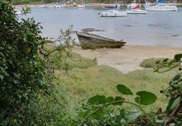
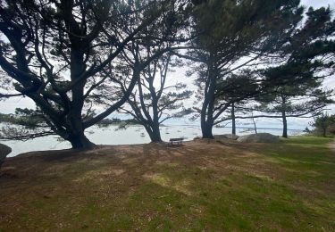
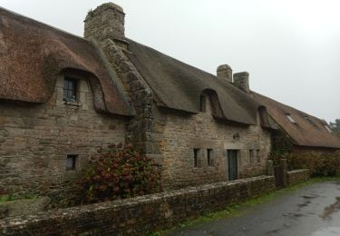
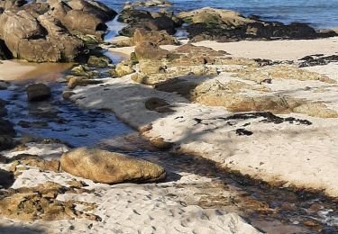
Trail Walking of 2.6 km to be discovered at Brittany, Finistère, Trégunc. This trail is proposed by Claude Jnt.
Description
balade
Positioning
Country:
France
Region :
Brittany
Department/Province :
Finistère
Municipality :
Trégunc
Location:
Unknown
Start:(Dec)
Start:(UTM)
433712 ; 5298485 (30T) N.
Comments
Trails nearby
Randonnee de Trévignon - Trégunc
Walking
Easy
(2)
Trégunc,
Brittany,
Finistère,
France
6.7 km | 7.3 km-effort
1h 45min
Yes
Saint Philibert-Trévignon plage
Walking
Medium
Trégunc,
Brittany,
Finistère,
France
7.1 km | 7.7 km-effort
1h 55min
Yes
Beg Meil kerambigorn -Concarneau
Walking
Easy
Concarneau,
Brittany,
Finistère,
France
23 km | 26 km-effort
4h 49min
No
Tregunc - Nevez
Walking
Medium
(1)
Trégunc,
Brittany,
Finistère,
France
23 km | 25 km-effort
5h 50min
Yes