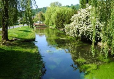
38 km | 44 km-effort
Croissy-sur celle
jema.bernard
User
Length
12.8 km
Max alt
166 m
Uphill gradient
225 m
Km-Effort
15.8 km
Min alt
71 m
Downhill gradient
223 m
Boucle
Yes
Creation date :
2022-06-26 07:01:50.0
Updated on :
2022-06-26 10:09:08.78
2h53
Difficulty : Difficult
FREE GPS app for hiking
About
Trail Walking of 12.8 km to be discovered at Hauts-de-France, Oise, Croissy-sur-Celle. This trail is proposed by jema.bernard.
Description
Facile
Positioning
Country:
France
Region :
Hauts-de-France
Department/Province :
Oise
Municipality :
Croissy-sur-Celle
Location:
Unknown
Start:(Dec)
Start:(UTM)
440148 ; 5505276 (31U) N.
Comments
Trails nearby
La vallée d'Enfer
Walking
Difficult
Belleuse,
Hauts-de-France,
Somme,
France
12.3 km | 14.5 km-effort
4h 0min
Yes
les Evoissons boucle B
Road bike
Easy
Conty,
Hauts-de-France,
Somme,
France
38 km | 44 km-effort
2h 35min
Yes
45 km Roc Contynois Conty le 15 juin 2014
Mountain bike
Medium
Conty,
Hauts-de-France,
Somme,
France
46 km | 56 km-effort
3h 39min
Yes
Le BOSQUEL
sport
Very easy
Bosquel,
Hauts-de-France,
Somme,
France
9.8 km | 11.3 km-effort
Unknown
Yes