13.1 km | 24 km-effort
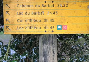
brêche de barbat. boucle
Patlac3
User
Length
17.2 km
Max alt
2659 m
Uphill gradient
1503 m
Km-Effort
37 km
Min alt
1161 m
Downhill gradient
1515 m
Boucle
Yes
Creation date :
2022-06-25 13:20:23.349
Updated on :
2022-06-25 13:20:26.39
11h00
Difficulty : Very difficult
FREE GPS app for hiking
About
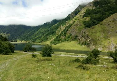
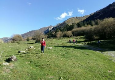
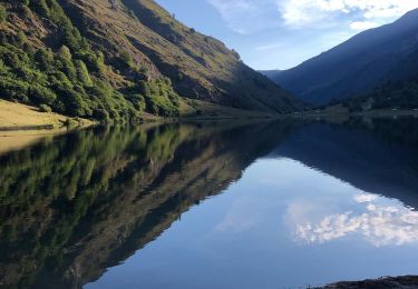
Trail Walking of 17.2 km to be discovered at Occitania, Hautespyrenees, Estaing. This trail is proposed by Patlac3.
Description
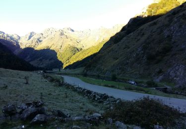
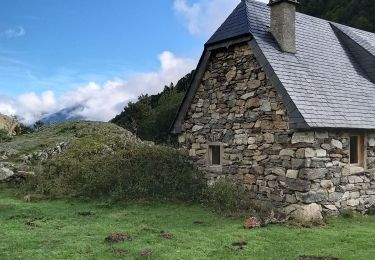
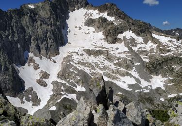
Randonnée de 11h avec pauses. Conseillé de faire la boucle dans le sens horaire.
Positioning
Country:
France
Region :
Occitania
Department/Province :
Hautespyrenees
Municipality :
Estaing
Location:
Unknown
Start:(Dec)
Start:(UTM)
727706 ; 4753994 (30T) N.
Comments
Trails nearby
Les Viellettes - Estaing
Walking
Difficult
(1)
Estaing,
Occitania,
Hautespyrenees,
France
4h 0min
Yes
ESTAING RS le der de 2022
Walking
Easy
Estaing,
Occitania,
Hautespyrenees,
France
3.6 km | 5.1 km-effort
1h 5min
Yes
ESTAING autour du lac
Walking
Easy
Estaing,
Occitania,
Hautespyrenees,
France
3.7 km | 5.3 km-effort
1h 9min
Yes
ESTAING et la cabane d'Ariousse "enfin presque" G3 3409014
Walking
Difficult
Estaing,
Occitania,
Hautespyrenees,
France
10.3 km | 14.8 km-effort
2h 49min
Yes
Ruines et lac de Liantran
Walking
Easy
Estaing,
Occitania,
Hautespyrenees,
France
17.7 km | 28 km-effort
6h 45min
Yes
ESTAING Cabane d'Ariousec en boucle G3
Walking
Medium
Estaing,
Occitania,
Hautespyrenees,
France
9 km | 13.7 km-effort
2h 42min
Yes
Le lac d'Estaing
Walking
Easy
Estaing,
Occitania,
Hautespyrenees,
France
9.1 km | 12.8 km-effort
2h 12min
Yes
pic de cristayet
Walking
Difficult
Arrens-Marsous,
Occitania,
Hautespyrenees,
France
15.7 km | 35 km-effort
9h 32min
Yes
Pyrénées jour 4
Walking
Estaing,
Occitania,
Hautespyrenees,
France
12.6 km | 22 km-effort
4h 6min
Yes