

GR341-Quistinic "la grange à Marie" Kerléguennec-Bubry

AHervé56
User


4h46
Difficulty : Very difficult

FREE GPS app for hiking
About
Trail Walking of 17.8 km to be discovered at Brittany, Morbihan, Quistinic. This trail is proposed by AHervé56.
Description
Départ du gite "La grange à Marie" ( que je recommande vivement pour l'accueil, le confort et la convivialité) de Kerléguennec vers Bubry.
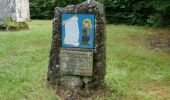
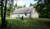
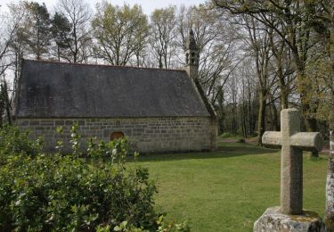
Détour du GR341 au niveau de Helleguy pour se rendre à la chapelle du cloître qui fut une infirmerie de la résistance pendant la 2ème guerre mondiale et où 14 résistants ont été fusillés par les nazis. Le site est doté de tables de pique-nique et est ombragé.
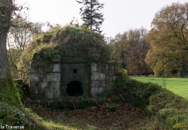
Une belle fontaine se trouve en bas de la colline.
Photos
 "
data-pinterest-text="Pin it"
data-tweet-text="share on twitter"
data-facebook-share-url="https://www.sitytrail.com/en/trails/3292356-quistinic--gr341xquistinic-xla-grange-a-mariex-kerleguennecxbubry/?photo=1#lg=1&slide=1"
data-twitter-share-url="https://www.sitytrail.com/en/trails/3292356-quistinic--gr341xquistinic-xla-grange-a-mariex-kerleguennecxbubry/?photo=1#lg=1&slide=1"
data-googleplus-share-url="https://www.sitytrail.com/en/trails/3292356-quistinic--gr341xquistinic-xla-grange-a-mariex-kerleguennecxbubry/?photo=1#lg=1&slide=1"
data-pinterest-share-url="https://www.sitytrail.com/en/trails/3292356-quistinic--gr341xquistinic-xla-grange-a-mariex-kerleguennecxbubry/?photo=1#lg=1&slide=1">
 "
data-pinterest-text="Pin it"
data-tweet-text="share on twitter"
data-facebook-share-url="https://www.sitytrail.com/en/trails/3292356-quistinic--gr341xquistinic-xla-grange-a-mariex-kerleguennecxbubry/?photo=2#lg=1&slide=2"
data-twitter-share-url="https://www.sitytrail.com/en/trails/3292356-quistinic--gr341xquistinic-xla-grange-a-mariex-kerleguennecxbubry/?photo=2#lg=1&slide=2"
data-googleplus-share-url="https://www.sitytrail.com/en/trails/3292356-quistinic--gr341xquistinic-xla-grange-a-mariex-kerleguennecxbubry/?photo=2#lg=1&slide=2"
data-pinterest-share-url="https://www.sitytrail.com/en/trails/3292356-quistinic--gr341xquistinic-xla-grange-a-mariex-kerleguennecxbubry/?photo=2#lg=1&slide=2">
 "
data-pinterest-text="Pin it"
data-tweet-text="share on twitter"
data-facebook-share-url="https://www.sitytrail.com/en/trails/3292356-quistinic--gr341xquistinic-xla-grange-a-mariex-kerleguennecxbubry/?photo=3#lg=1&slide=3"
data-twitter-share-url="https://www.sitytrail.com/en/trails/3292356-quistinic--gr341xquistinic-xla-grange-a-mariex-kerleguennecxbubry/?photo=3#lg=1&slide=3"
data-googleplus-share-url="https://www.sitytrail.com/en/trails/3292356-quistinic--gr341xquistinic-xla-grange-a-mariex-kerleguennecxbubry/?photo=3#lg=1&slide=3"
data-pinterest-share-url="https://www.sitytrail.com/en/trails/3292356-quistinic--gr341xquistinic-xla-grange-a-mariex-kerleguennecxbubry/?photo=3#lg=1&slide=3">
 "
data-pinterest-text="Pin it"
data-tweet-text="share on twitter"
data-facebook-share-url="https://www.sitytrail.com/en/trails/3292356-quistinic--gr341xquistinic-xla-grange-a-mariex-kerleguennecxbubry/?photo=4#lg=1&slide=4"
data-twitter-share-url="https://www.sitytrail.com/en/trails/3292356-quistinic--gr341xquistinic-xla-grange-a-mariex-kerleguennecxbubry/?photo=4#lg=1&slide=4"
data-googleplus-share-url="https://www.sitytrail.com/en/trails/3292356-quistinic--gr341xquistinic-xla-grange-a-mariex-kerleguennecxbubry/?photo=4#lg=1&slide=4"
data-pinterest-share-url="https://www.sitytrail.com/en/trails/3292356-quistinic--gr341xquistinic-xla-grange-a-mariex-kerleguennecxbubry/?photo=4#lg=1&slide=4">
 "
data-pinterest-text="Pin it"
data-tweet-text="share on twitter"
data-facebook-share-url="https://www.sitytrail.com/en/trails/3292356-quistinic--gr341xquistinic-xla-grange-a-mariex-kerleguennecxbubry/?photo=5#lg=1&slide=5"
data-twitter-share-url="https://www.sitytrail.com/en/trails/3292356-quistinic--gr341xquistinic-xla-grange-a-mariex-kerleguennecxbubry/?photo=5#lg=1&slide=5"
data-googleplus-share-url="https://www.sitytrail.com/en/trails/3292356-quistinic--gr341xquistinic-xla-grange-a-mariex-kerleguennecxbubry/?photo=5#lg=1&slide=5"
data-pinterest-share-url="https://www.sitytrail.com/en/trails/3292356-quistinic--gr341xquistinic-xla-grange-a-mariex-kerleguennecxbubry/?photo=5#lg=1&slide=5">
Positioning
Comments
Trails nearby
On foot

Walking


Walking

Walking

Walking

Walking


Equestrian

Equestrian

Equestrian


 SityTrail


