7.8 km | 8.8 km-effort
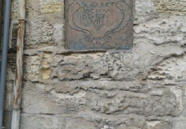
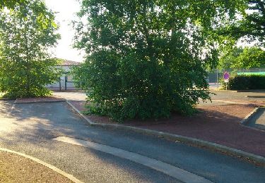
Salle de la recluse
TOF17460
User
Length
646 m
Max alt
39 m
Uphill gradient
11 m
Km-Effort
792 m
Min alt
25 m
Downhill gradient
11 m
Boucle
Yes
Creation date :
2022-06-23 08:58:21.252
Updated on :
2022-06-23 09:56:21.776
14m
Difficulty : Very easy
FREE GPS app for hiking
About
Trail Walking of 646 m to be discovered at New Aquitaine, Charente-Maritime, Saintes. This trail is proposed by TOF17460.
Description
58 rue Rabelais 17100 Saintes
Positioning
Country:
France
Region :
New Aquitaine
Department/Province :
Charente-Maritime
Municipality :
Saintes
Location:
Unknown
Start:(Dec)
Start:(UTM)
686214 ; 5068116 (30T) N.
Comments
Trails nearby
la Chapelle des Pots ( D ROUSSET)
Walking
Medium
(1)
La Chapelle-des-Pots,
New Aquitaine,
Charente-Maritime,
France
2h 40min
Yes
Voiville - Pessines 01 022023
Walking
Medium
(1)
Saintes,
New Aquitaine,
Charente-Maritime,
France
7.8 km | 8.8 km-effort
2h 22min
Yes
port huble
Walking
Medium
Chaniers,
New Aquitaine,
Charente-Maritime,
France
5.6 km | 6.5 km-effort
1h 39min
Yes
saintes (essais 01)
Walking
Very easy
(1)
Saintes,
New Aquitaine,
Charente-Maritime,
France
9 km | 10.4 km-effort
2h 1min
Yes
JFT YB Etape11 8-5 -2014
Walking
Medium
Saintes,
New Aquitaine,
Charente-Maritime,
France
30 km | 33 km-effort
6h 10min
No
moulin de la vaine - Vallée du Bourru
Walking
Easy
Chaniers,
New Aquitaine,
Charente-Maritime,
France
6.9 km | 7.8 km-effort
2h 15min
Yes
fontcouverte et Aqueduc terrain de golfe
Walking
Medium
(1)
Fontcouverte,
New Aquitaine,
Charente-Maritime,
France
5.1 km | 6.5 km-effort
1h 49min
Yes
FONTCOUVERTE
Walking
Very easy
Fontcouverte,
New Aquitaine,
Charente-Maritime,
France
5.6 km | 6.4 km-effort
1h 41min
Yes
Circuit des Arches de Fontcouverte
Mountain bike
Very difficult
Fontcouverte,
New Aquitaine,
Charente-Maritime,
France
15.5 km | 18.4 km-effort
1h 15min
Yes