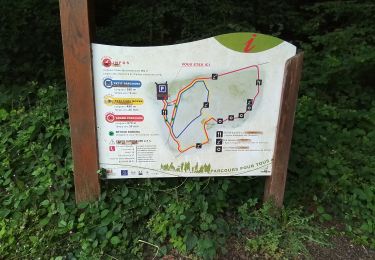
16.3 km | 20 km-effort
la Granges aux Bois complément
VANDERPUTTENMi
User GUIDE
Length
3.2 km
Max alt
209 m
Uphill gradient
56 m
Km-Effort
3.9 km
Min alt
154 m
Downhill gradient
56 m
Boucle
Yes
Creation date :
2022-06-22 12:35:34.093
Updated on :
2022-06-25 18:07:58.569
50m
Difficulty : Easy
FREE GPS app for hiking
About
Trail Walking of 3.2 km to be discovered at Grand Est, Marne, Sainte-Menehould. This trail is proposed by VANDERPUTTENMi.
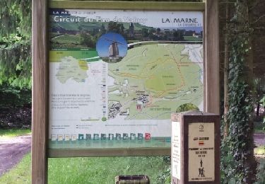
Positioning
Country:
France
Region :
Grand Est
Department/Province :
Marne
Municipality :
Sainte-Menehould
Location:
Unknown
Start:(Dec)
Start:(UTM)
641882 ; 5440067 (31U) N.
Comments
Trails nearby
ST MENHEOULD
Walking
Easy
Sainte-Menehould,
Grand Est,
Marne,
France
11.5 km | 13.6 km-effort
3h 23min
Yes
La Grange aux Bois du 22/06/2022
Walking
Medium
Sainte-Menehould,
Grand Est,
Marne,
France
6.6 km | 8.2 km-effort
1h 55min
Yes
Futeau - haute chevauchée - Gorge de Châtrice
Walking
Medium
Futeau,
Grand Est,
Meuse,
France
5.3 km | 7 km-effort
1h 23min
Yes
verriere ballade du roi de rome
Road bike
Medium
Verrières,
Grand Est,
Marne,
France
22 km | 25 km-effort
2h 41min
Yes
Bulle d'histoire : de Sainte Ménehould à Valmy
Electric bike
Very easy
Sainte-Menehould,
Grand Est,
Marne,
France
47 km | 53 km-effort
Unknown
Yes
La bataille d'Argonne 14-18
Electric bike
Very easy
Sainte-Menehould,
Grand Est,
Marne,
France
69 km | 81 km-effort
Unknown
Yes
sainte menou 1
Hybrid bike
Very easy
Sainte-Menehould,
Grand Est,
Marne,
France
34 km | 38 km-effort
2h 13min
Yes
Etangs de Florent & fau de valmy
Nordic walking
Very easy
Sainte-Menehould,
Grand Est,
Marne,
France
14.1 km | 17.6 km-effort
2h 47min
Yes