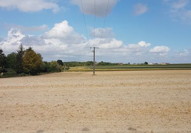
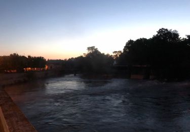
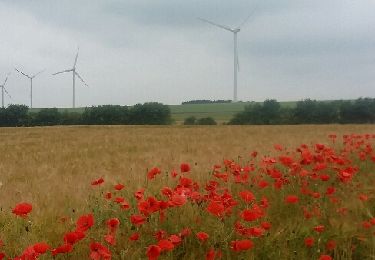
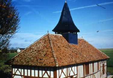
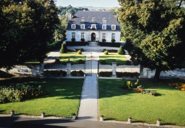
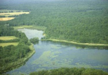
39 km | 47 km-effort
un tour de camp
joeljoseph
User
Length
57 km
Max alt
220 m
Uphill gradient
469 m
Km-Effort
63 km
Min alt
97 m
Downhill gradient
469 m
Boucle
Yes
Creation date :
2022-06-19 04:52:29.281
Updated on :
2022-06-19 17:04:28.934
2h52
Difficulty : Very difficult
FREE GPS app for hiking
About
Trail Road bike of 57 km to be discovered at Grand Est, Aube, Lhuître. This trail is proposed by joeljoseph.
Positioning
Country:
France
Region :
Grand Est
Department/Province :
Aube
Municipality :
Lhuître
Location:
Unknown
Start:(Dec)
Start:(UTM)
592141 ; 5380433 (31U) N.
Comments
Trails nearby
La Via Francigena - Brienne le Château - Bar sur Aube
Walking
Medium
Brienne-le-Château,
Grand Est,
Aube,
France
8h 0min
No
Creney 35
Other activity
Very easy
Charmont-sous-Barbuise,
Grand Est,
Aube,
France
16.3 km | 18 km-effort
59min
No
au tour de la Gironde
Other activity
Very easy
Arcis-sur-Aube,
Grand Est,
Aube,
France
5.8 km | 6.3 km-effort
1h 11min
Yes
de Mailly-le-camp à chelles
Cycle
Medium
Mailly-le-Camp,
Grand Est,
Aube,
France
139 km | 156 km-effort
6h 40min
No
De l'Aube à la Barbuise - Arcis sur Aube
Cycle
Easy
Arcis-sur-Aube,
Grand Est,
Aube,
France
66 km | 71 km-effort
2h 0min
Yes
La Plaine Champenoise - Mailly le Camp
Cycle
Medium
Mailly-le-Camp,
Grand Est,
Aube,
France
66 km | 71 km-effort
2h 30min
Yes
Chemin de Compostelle, Voie de Vézelay GR654® De Brienne le Château à Unienville
Walking
Medium
Brienne-le-Château,
Grand Est,
Aube,
France
10.8 km | 12 km-effort
2h 10min
No
Étape 4 St Léger s Brienne à Bagneux la Fosse
sport
Very easy
Saint-Léger-sous-Brienne,
Grand Est,
Aube,
France
77 km | 91 km-effort
Unknown
No