11.5 km | 13.5 km-effort
Lisle route
petrocorien
User
Length
30 km
Max alt
220 m
Uphill gradient
436 m
Km-Effort
35 km
Min alt
86 m
Downhill gradient
436 m
Boucle
Yes
Creation date :
2022-06-19 06:26:35.0
Updated on :
2022-06-19 07:37:56.757
1h11
Difficulty : Very easy
FREE GPS app for hiking
About
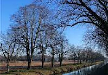
Trail Road bike of 30 km to be discovered at New Aquitaine, Dordogne, Chancelade. This trail is proposed by petrocorien.
Positioning
Country:
France
Region :
New Aquitaine
Department/Province :
Dordogne
Municipality :
Chancelade
Location:
Unknown
Start:(Dec)
Start:(UTM)
315435 ; 5009010 (31T) N.
Comments
Trails nearby
Circuit de l'Abbaye de Chancelade
Walking
Difficult
Chancelade,
New Aquitaine,
Dordogne,
France
12.8 km | 18.3 km-effort
4h 9min
Yes
Boucle de Gravelle
Walking
Difficult
Annesse-et-Beaulieu,
New Aquitaine,
Dordogne,
France
13.1 km | 16.2 km-effort
3h 40min
Yes
Boucle du bois de Lavergne
Walking
Difficult
Château-l'Évêque,
New Aquitaine,
Dordogne,
France
14.1 km | 17.8 km-effort
4h 2min
Yes
Boucle des Andrivaux
Walking
Very difficult
Chancelade,
New Aquitaine,
Dordogne,
France
14.8 km | 19.3 km-effort
4h 23min
Yes
Boucle de la Terrassonnie
Walking
Easy
Chancelade,
New Aquitaine,
Dordogne,
France
11.2 km | 14.7 km-effort
3h 37min
Yes
randogps24-689
Walking
Difficult
Annesse-et-Beaulieu,
New Aquitaine,
Dordogne,
France
11.8 km | 14.7 km-effort
3h 19min
No
CHATEAU-LEVEQUE - Boucle de Preyssac courte
Walking
Difficult
Château-l'Évêque,
New Aquitaine,
Dordogne,
France
11.3 km | 15.4 km-effort
3h 29min
Yes
Marsac
Walking
Easy
Marsac-sur-l'Isle,
New Aquitaine,
Dordogne,
France
9.2 km | 11 km-effort
2h 29min
Yes