10.2 km | 20 km-effort
tourmalet_pic_du_midi_de_bigorre-14890713-1654758068-255
jab31
User
Length
13.8 km
Max alt
2847 m
Uphill gradient
839 m
Km-Effort
25 km
Min alt
2109 m
Downhill gradient
833 m
Boucle
Yes
Creation date :
2022-06-11 13:46:58.266
Updated on :
2022-08-21 17:27:05.316
5h40
Difficulty : Very difficult
FREE GPS app for hiking
About
Trail Walking of 13.8 km to be discovered at Occitania, Hautespyrenees, Bagnères-de-Bigorre. This trail is proposed by jab31.
Description
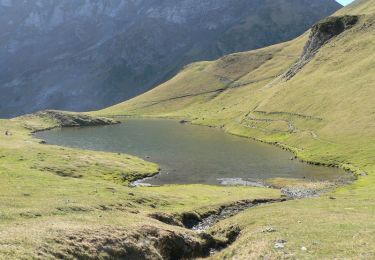
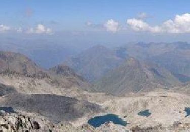
Du col au pic du Midi de Bigorre
Positioning
Country:
France
Region :
Occitania
Department/Province :
Hautespyrenees
Municipality :
Bagnères-de-Bigorre
Location:
Unknown
Start:(Dec)
Start:(UTM)
267017 ; 4754622 (31T) N.
Comments
Trails nearby
Pic des Trois Conseillers
Walking
Very difficult
(1)
Barèges,
Occitania,
Hautespyrenees,
France
16 km | 34 km-effort
9h 0min
Yes
Pic de Madamète en boucle par les lacs
Walking
Difficult
(1)
Barèges,
Occitania,
Hautespyrenees,
France
21 km | 40 km-effort
9h 0min
Yes
Plateau d’Aoube par la cabane d’Aoube
Horseback riding
Easy
Sers,
Occitania,
Hautespyrenees,
France
7.4 km | 15.1 km-effort
4h 43min
Yes
tourmalet G2 heit
Walking
Very easy
Bagnères-de-Bigorre,
Occitania,
Hautespyrenees,
France
5.5 km | 11.6 km-effort
6h 37min
Yes
SityTrail - 2444920 - artigues-la-mongie-g3-lpc-corrigex
On foot
Very easy
(1)
Campan,
Occitania,
Hautespyrenees,
France
7.8 km | 15.7 km-effort
Unknown
Yes
artigues à payolle
Walking
Very easy
Campan,
Occitania,
Hautespyrenees,
France
15.1 km | 19.8 km-effort
6h 10min
No
En boucle, Grand Tourmalet- Aygues Cluses-Col de Madamète- Lac Dets Coubous.
Walking
Difficult
(3)
Barèges,
Occitania,
Hautespyrenees,
France
16.7 km | 32 km-effort
6h 26min
Yes
Pic Midi Bigorres
Walking
Difficult
(1)
Campan,
Occitania,
Hautespyrenees,
France
9.2 km | 25 km-effort
4h 30min
No