


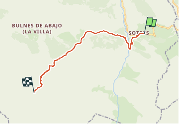

14.1 km | 24 km-effort


User


FREE GPS app for hiking
 SityTrail
IGN / Geographical institutes
SityTrail World
The world is yours!
Trail On foot of 10.5 km to be discovered at Asturias, Asturias, Cabrales. This trail is proposed by zoe.vienne.
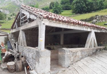
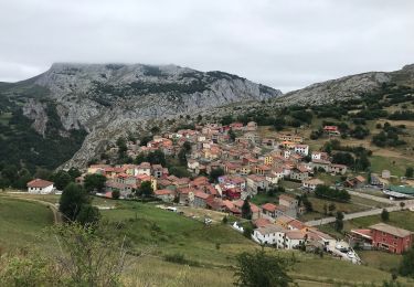
J5 Randonnée La Balaguère Picos de Europa
On foot
Walking

Walking
Walking