Trail Walking Entracque - Lacs Réservoirs Rovina Chiotas et Argentera - Photo

Lacs Réservoirs Rovina Chiotas et Argentera

 GrouGary
GrouGary

User

© OpenStreetMap contributors
Length
Length
11.9 km
Max alt
Max alt
2034 m
Uphill gradient
Uphill gradient
630 m
Km-Effort
Km-Effort  
20 km
Min alt
Min alt
1538 m
Downhill gradient
Downhill gradient
630 m
Boucle
Boucle
Yes
Creation date :
2022-06-06 07:04:09.468
Updated on :
2022-06-10 11:55:54.488

(0 Reviews)

Walking
Walking
4h00
Difficulty : Medium

Scan this QR Code to open this trail in the SityTrail application

FREE GPS app for hiking

Logo SityTrail SityTrail

IGN / Geographical institutes

Download SityTrail from the App Store Download SityTrail from Google Play

Logo SityTrail SityTrail World

The world is yours!

Download SityTrail from the App Store Download SityTrail from Google Play Download SityTrail on Huawei AppGallery

About

Trail Walking of 11.9 km to be discovered at Piemont, Cuneo, Entracque. This trail is proposed by GrouGary.

Description

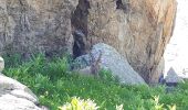
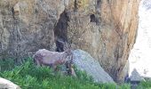
A 10 Km environ de Entraques : Depart du Parking du Lago della Rovina (non gratuit en été) gratuit début juin. Un chamois broute sans se préoccuper de notre présence...
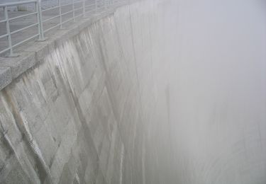
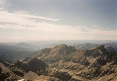
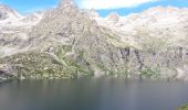
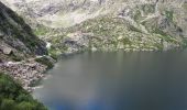
Montée raide sur sente, en présence de nombreux bouquetins et jeunes, peu effarouchés., jusqu'au Lago del Chiotas, crée par le grand réservoir d'eau. Vue sur les 2 sommets de l'Argentera.
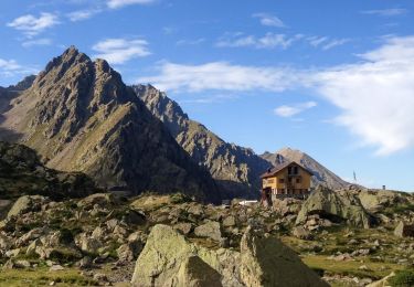
Piste pour atteindre le refuge et Lago Brocan : Bouquetins très nombreux.
Redescente par piste régulière

Elevation profile

Photos

Positioning

Country:
Italy
Region :
Piemont
Department/Province :
Cuneo
Municipality :
Entracque
Location:
Unknown
Start:(UTM)
367368 ; 4892493 (32T) N.

Trails nearby

Trail On foot Entracque - (SI E09) Rifugio Rifugio Soria-Ellena - Rifugio Genova-Figari - Photo
On foot
GUIDE+

On foot

Easy
Entracque, Piemont, Cuneo, Italy
7.1 km | 15.6 km-effort
3h 32min
No
Trail On foot Entracque - IT-M10 - Photo
On foot
GUIDE+

On foot

Easy
Entracque, Piemont, Cuneo, Italy
7.2 km | 15.8 km-effort
3h 34min
No
Trail On foot Valdieri - IT-N8 - Photo
On foot
GUIDE+

On foot

Easy
Valdieri, Piemont, Cuneo, Italy
7.2 km | 10.5 km-effort
2h 22min
No
Trail On foot Entracque - IT-M8 - Photo
On foot
GUIDE+

On foot

Easy
Entracque, Piemont, Cuneo, Italy
3.2 km | 8.4 km-effort
1h 54min
No
Trail On foot Entracque - IT-N28 - Photo
On foot
GUIDE+

On foot

Easy
Entracque, Piemont, Cuneo, Italy
3.2 km | 10.4 km-effort
2h 21min
No
Trail On foot Entracque - IT-M13 - Photo
On foot
GUIDE+

On foot

Easy
Entracque, Piemont, Cuneo, Italy
8 km | 19.7 km-effort
4h 28min
No
Trail On foot Entracque - (SI E10) Rifugio Genova-Figari - Terme di Valdieri - Photo
On foot
GUIDE+

On foot

Medium
Entracque, Piemont, Cuneo, Italy
14.6 km | 27 km-effort
6h 2min
No
Trail Walking Valdieri - 11ème jour tracé GR52 refuge franco remondino lac du boreon - Photo
Walking
Parodie69

Walking

Very difficult
Valdieri, Piemont, Cuneo, Italy
11.2 km | 23 km-effort
5h 8min
No
Trail Walking Entracque - 9éme jour trace GR52 refuge Genova figaro refuge casa savola - Photo
Walking
Parodie69

Walking

Very difficult
Entracque, Piemont, Cuneo, Italy
14.6 km | 27 km-effort
6h 3min
No


Close
My subscriptions