


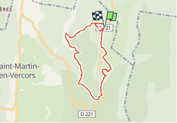

16.5 km | 34 km-effort


User


FREE GPS app for hiking
 SityTrail
IGN / Geographical institutes
SityTrail World
The world is yours!
Trail Walking of 8.4 km to be discovered at Auvergne-Rhône-Alpes, Drôme, Saint-Martin-en-Vercors. This trail is proposed by cousam.
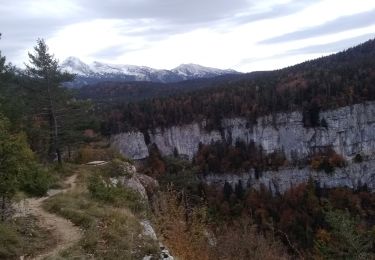
Boucle par la grotte de la cheminée (glissant ) prévoir frontale
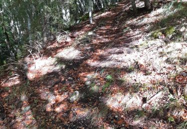
chemin de la Pia
scialet du Pot du Loup
Gour Fumant


Walking

Walking

Mountain bike

Walking

Touring skiing
Walking
Walking

Walking

Other activity