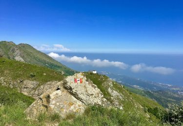
9.9 km | 14.6 km-effort
Pra rotondo
Arnaud Stévenard
User
Length
12.8 km
Max alt
1092 m
Uphill gradient
940 m
Km-Effort
25 km
Min alt
186 m
Downhill gradient
939 m
Boucle
Yes
Creation date :
2022-06-05 06:33:59.0
Updated on :
2022-06-05 13:02:31.224
6h27
Difficulty : Medium
FREE GPS app for hiking
About
Trail Walking of 12.8 km to be discovered at Liguria, Genoa, Cogoleto. This trail is proposed by Arnaud Stévenard.
Positioning
Country:
Italy
Region :
Liguria
Department/Province :
Genoa
Municipality :
Cogoleto
Location:
Unknown
Start:(Dec)
Start:(UTM)
469350 ; 4916492 (32T) N.
Comments
Trails nearby
Varazze - Monte Beigua
On foot
Easy
Varazze,
Liguria,
Savona,
Italy
10.3 km | 15.3 km-effort
3h 28min
No
Anello di Arenzano (Santuario delle Olivette - Rifugio Padre Rino - S. Anna d...
On foot
Difficult
Cogoleto,
Liguria,
Genoa,
Italy
23 km | 40 km-effort
9h 8min
No
Prato Rotondo - Passo del Faiallo
On foot
Easy
Cogoleto,
Liguria,
Genoa,
Italy
9.4 km | 13.7 km-effort
3h 6min
No
Vara Inferiore - Cima Pian di Lerca
On foot
Easy
Sassello,
Liguria,
Savona,
Italy
5.1 km | 6.8 km-effort
1h 32min
No
Arenzano-Lerca-Monte Rama
On foot
Medium
Arenzano,
Liguria,
Genoa,
Italy
11.1 km | 23 km-effort
5h 16min
No
Varazze-Beato Giacomo-Eremo del Deserto-Pratorotondo
On foot
Medium
Varazze,
Liguria,
Savona,
Italy
11.2 km | 25 km-effort
5h 38min
No
Lerca - Casa Carbuneè- Monte Rama
On foot
Easy
Cogoleto,
Liguria,
Genoa,
Italy
8 km | 18.5 km-effort
4h 12min
No
Sciarborasca-Prato Rotondo
On foot
Easy
Cogoleto,
Liguria,
Genoa,
Italy
5.6 km | 14.5 km-effort
3h 17min
No